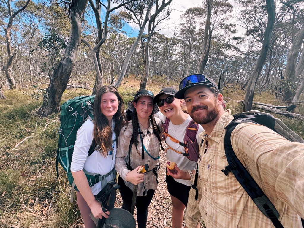
There’s something special about taking a friend on their first overnight hike. Hyping it up, hoping they’ll love it as much as you do, and in the process, you fall in love all over again. You pull out all the stops: pointing out every view with exaggerated enthusiasm, rattling off fun facts about the local flora (whether they asked or not), and pretending like the uphill sections aren’t even that bad.
This summer, we took our friend Sophie on her first overnight hike to Pryors Hut and Mount Gingera. Think sweeping summit views from ACT’s second-highest peak, a cozy little hut with a backstory worth sharing, and just enough uphill to make your camp dinner taste good at the end of the day. With a well-formed trail, simple navigation, and that perfect balance of remoteness without being that far from Canberra, it’s an ideal introduction to overnight hiking.
Skip to:
- About Namadgi National Park
- About Pryors Hut
- Where to Start the Hike to Mount Gingera
- Skill Level Needed to Hike to Mount Gingera
- Best Time to Hike to Mount Gingera
- Where to Stay Nearby the Hike to Mount Gingera
- Trip Report
- Tips for Hiking to Mount Gingera
Quick Look
Distance: 20.7km (return)
Elevation: 1200m approx.
Duration: 1-2 Days
Skill level: Beginner/Intermediate (moderate fitness required)
Location: Namadgi National Park, ACT
GPX: https://www.strava.com/routes/3327078235969998520

About Namadgi National Park
Namadgi National Park has been home to the Ngunnawal people for thousands of years, moving through these highlands with the seasons. When European settlers arrived in the 19th century, everything changed. Grazing leases, timber cutting, and the introduction of hooved animals damaged fragile ecosystems, and the Ngunnawal people were displaced from their traditional lands. Today, efforts are being made to restore and honour the Aboriginal culture in Namadgi National Park, including preserving and protecting significant sites, collaborating with Aboriginal Elders in land management, and educating visitors.
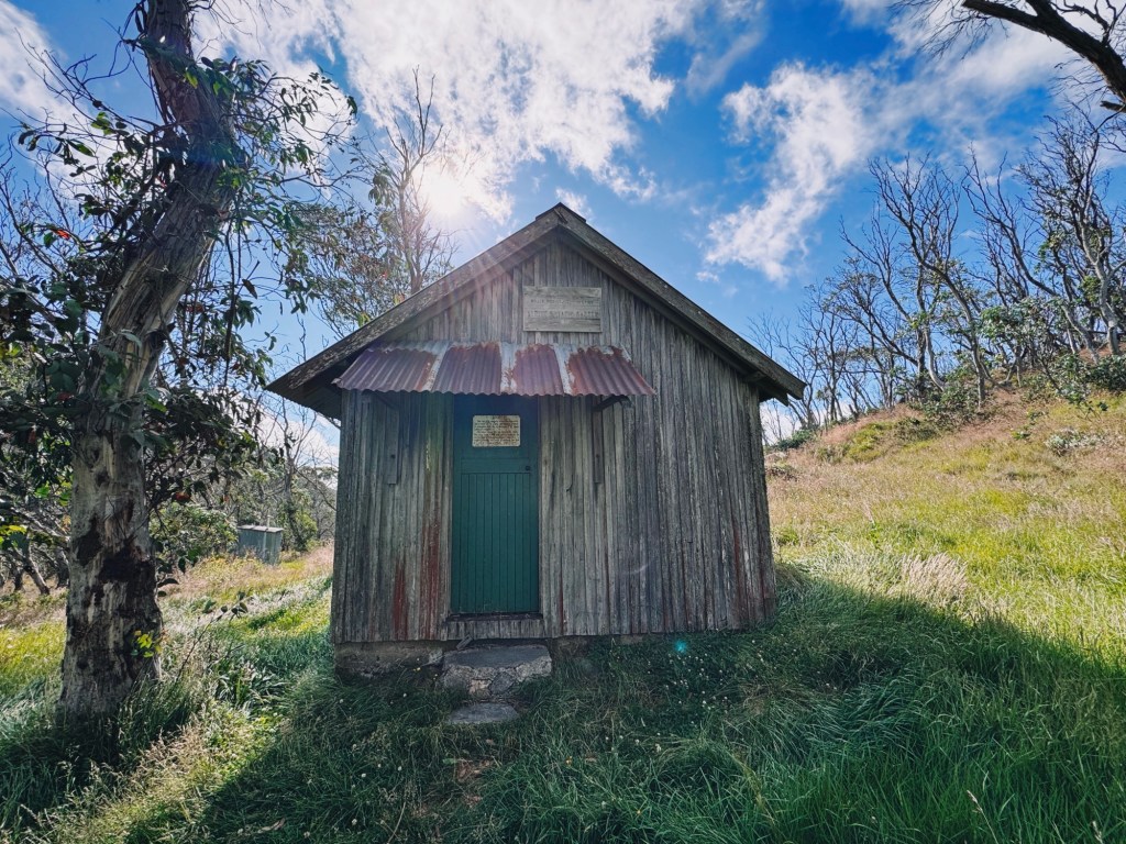
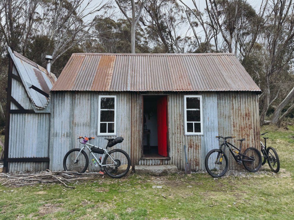
About Pryors Hut
Lindsay Pryor, a local botanist, was tasked with establishing an arboretum in the Brindabella Range as an alpine annex to the National Botanic Gardens. The ACT Government denied his request for a workers’ hut, so he did the next best thing. He built one anyway! Just across the border in NSW, with the front door stepping straight into the ACT. It’s giving monkey wrench gang (IYKYK).
Where to Start the Hike to Mount Gingera
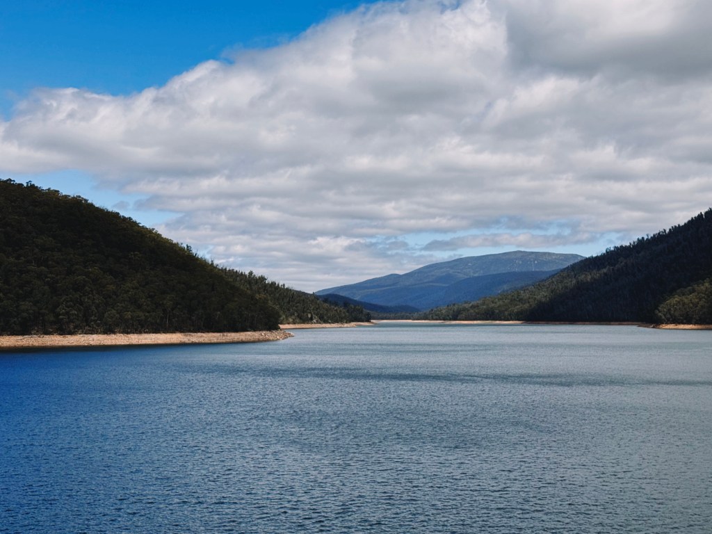
This route to Pryors Hut and Mount Gingera starts at Corin Dam carpark, a scenic 45-minute drive south-west from Canberra or under 4-hours south from Sydney. The final kilometres on Corin road wind its way through the mountains, so take it slow and watch for wildlife.
Skill Level Needed to Hike to Mount Gingera
The track is well signed and maintained, making navigation straightforward and the perfect trail for beginner to intermediate hikers. From Corin Dam, the first two kilometers climb steeply, with switchbacks that’ll get the heart pumping, so a moderate level of fitness is recommended. Give yourself plenty of time to allow for rest breaks.
If you’d rather skip the thigh-burning climb, there’s an easier alternative route to get to Pryors Hut and Mount Gingera. You can park at the ‘Mount Gingera Walk Trail Head’ on Mount Franklin Road, deep in the Brindabellas. It’s a longer drive but offers a far gentler hike along a 4WD track, perfect for families, or first-timers. This article focuses on the route from Corin Dam via Stockyard Spur.

Best Time to Hike to Mount Gingera
The hike to Pryors Hut and Mount Gingera can be done year-round, but the best time is late spring through to early autumn when temperatures are mild, and the wildflowers are blooming. In winter, snowfall is possible, and while it usually melts quickly, it can settle on the ground for days. Be prepared for cold conditions and check the forecast before heading out.
Where to Stay Nearby the Hike to Mount Gingera
If you’re coming from far away and need a place to stay before for an early start, Woods Reserve is a great option. It’s about 20 minutes from the trailhead, tucked beside Gibraltar Creek, and is a gorgeous spot to camp. Bookings are required ahead of time on the ACT parks website.
Because this hike passes through the Corin Catchment area (Canberra’s water supply) camping is only permitted on the trail at Pryors Hut. As tempting as it is, wild camping is not allowed on Mount Gingera.
Trip Report
Day 1: 8km, 815m Elevation Gain
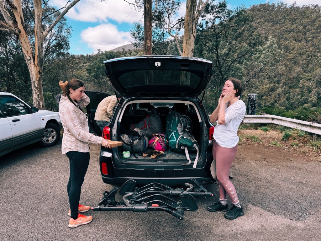
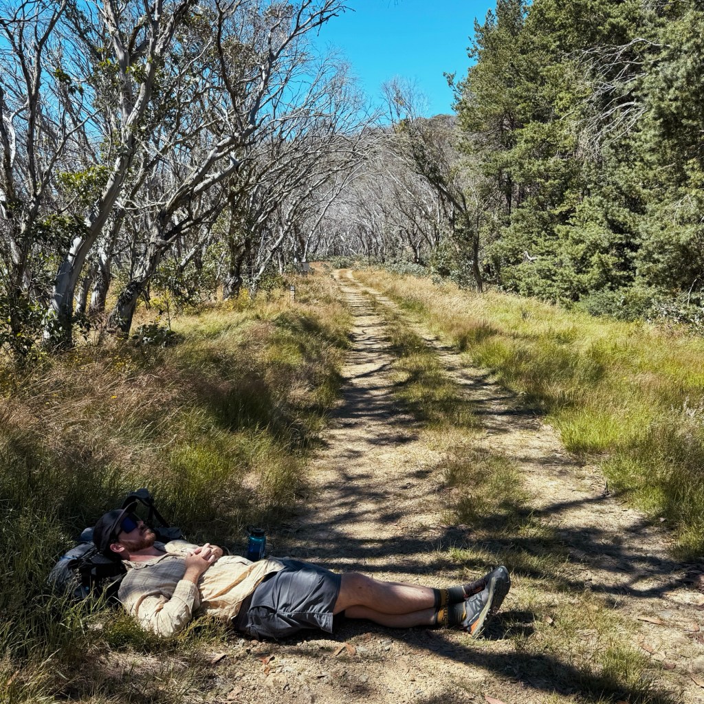
With a short day ahead, we had the luxury of taking our time in the morning, coaching Sophie through the art of packing for an overnight hike: what to bring, where to shove it, and the struggle of cramming a sleeping bag into a stuff sack. “It’s like wrestling a giant worm,” she grunted, which, honestly, is the most accurate description I’ve ever heard. No hike is complete without a pastry-fueled send-off, so we made a mandatory stop at Under Bakery in Mawson before finally rolling into the Corin Dam car park at 1:30 pm.
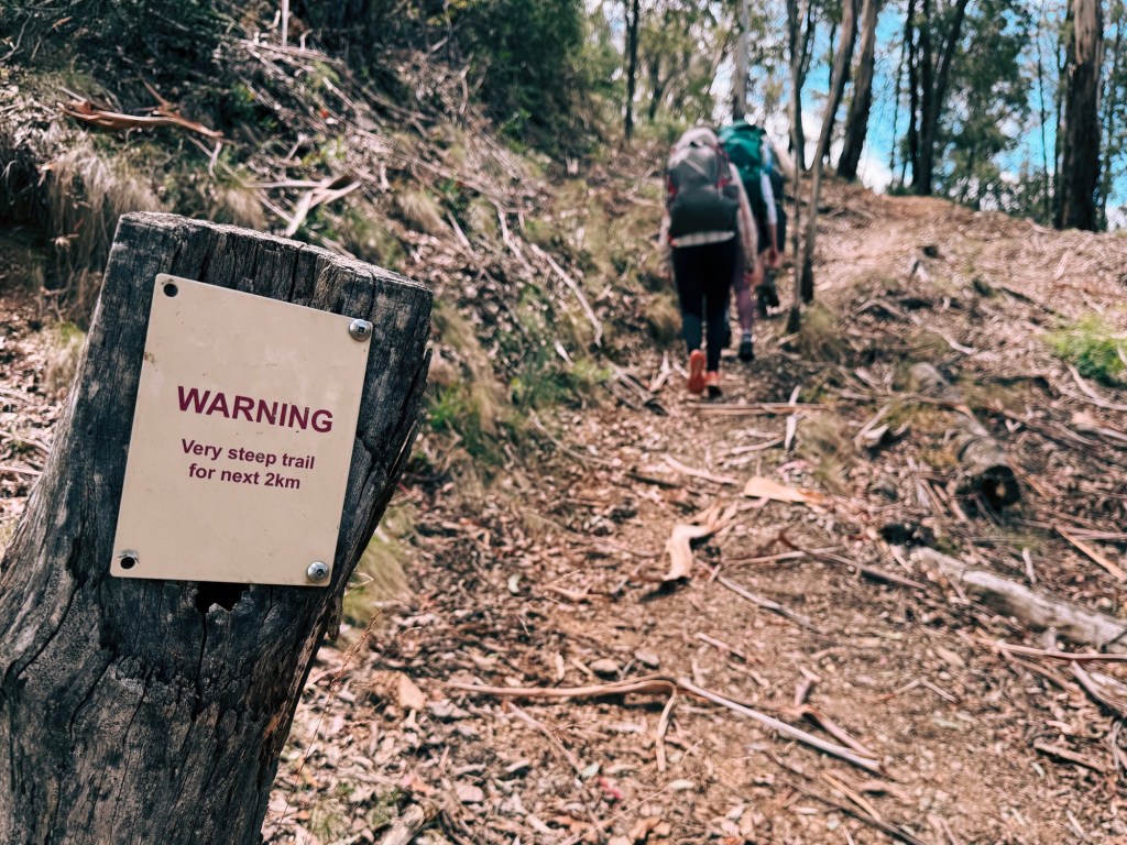
The trail, however, didn’t mess around like we did. It launched straight into Stockyard Spur’s infamous climb (530m of elevation gain in just 2km) essentially a relentless staircase. Conversation died quickly as we focused on just putting one foot in front of the other, stopping only to pretend to admire the view while catching our breath.
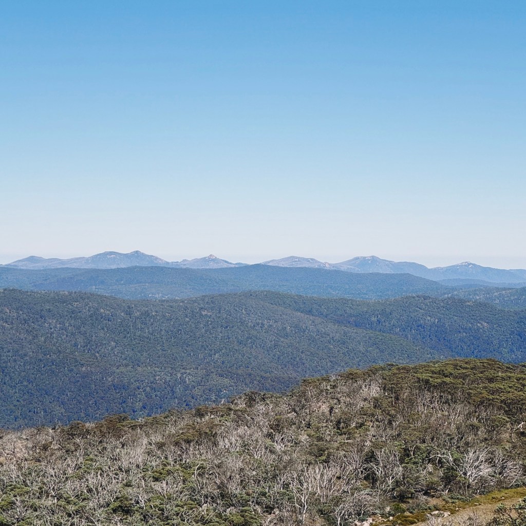
Eventually, the trail crested onto a 4WD track, offering a brief illusion of relief. The gradient eased, but the climb wasn’t done, rolling ever upwards past a couple of rocky outcrops. One side opened to views stretching back toward Canberra, while the other looked out over the rugged peaks of the Bimberi Wilderness.

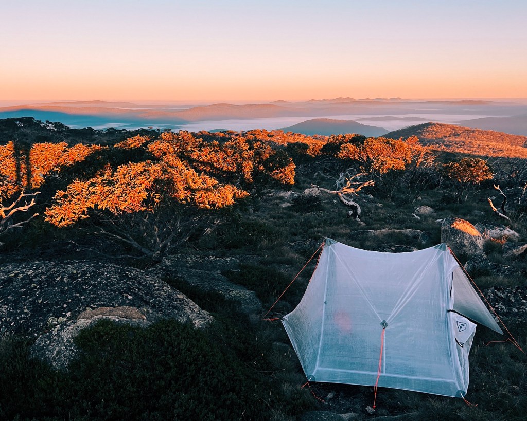
Turning left onto Mount Franklin Road, the trail mellowed out, and before we knew it, we arrived at Pryors Hut. Being so close to Canberra, it’s a popular weekend spot, and three other small groups had already claimed their campsites. Flat spots around the hut were limited, so we set up on a grassy patch down near the old arboretum. Flat, protected, and far enough from the toilet to avoid the smell, but close enough for convenience.

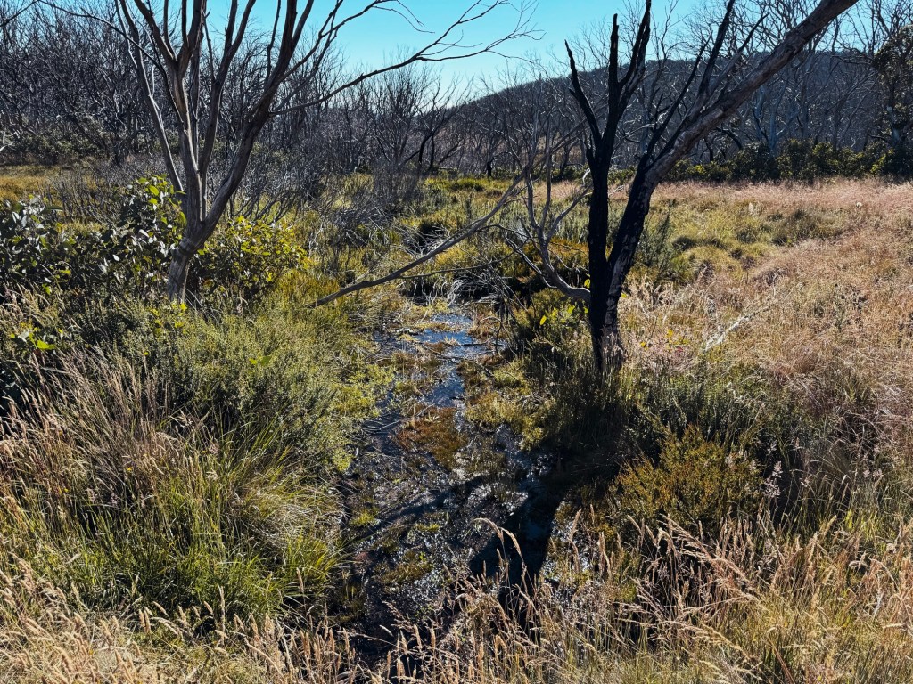
With the tents up, we wandered through the arboretum, spotting a pair of black cockatoos in the pines before heading off to find water. A small creek, still flowing after the recent rain, trickled just 100m down the road.
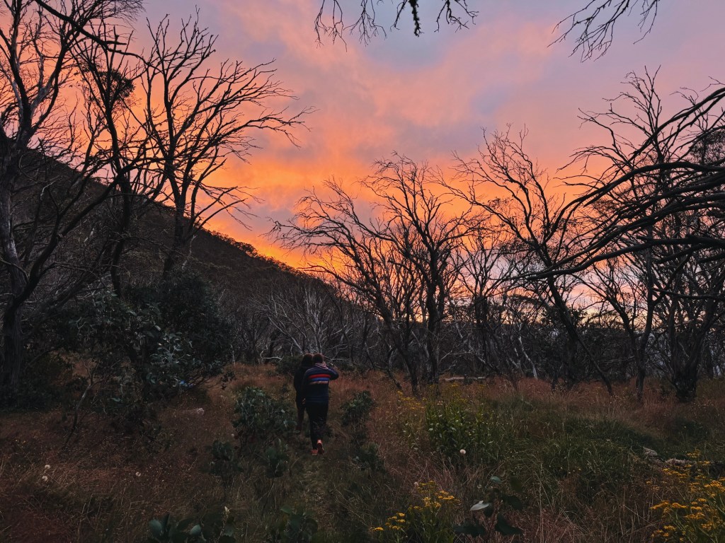
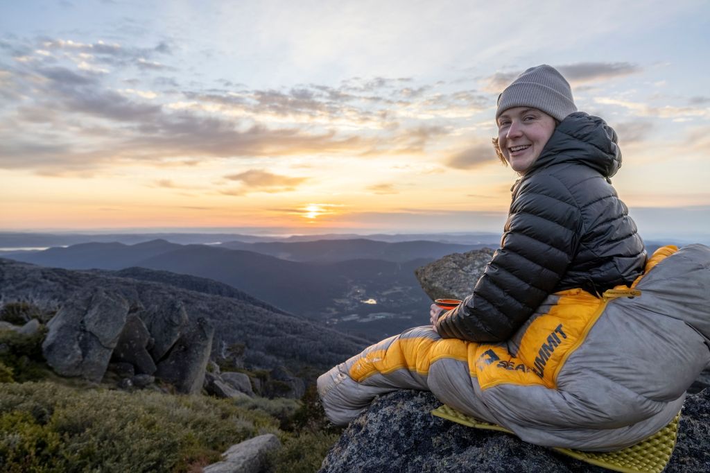
As the sky blushed into dusk, we followed a faint footpad up the hill behind the hut, scrambling onto a cluster of rocks just in time for golden hour. Watching the last light spill across the Brindabellas, we all agreed: worth every sweaty step.
Day 2: 12km, 280m Elevation Gain
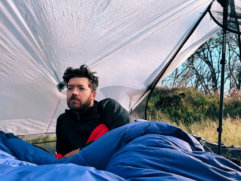
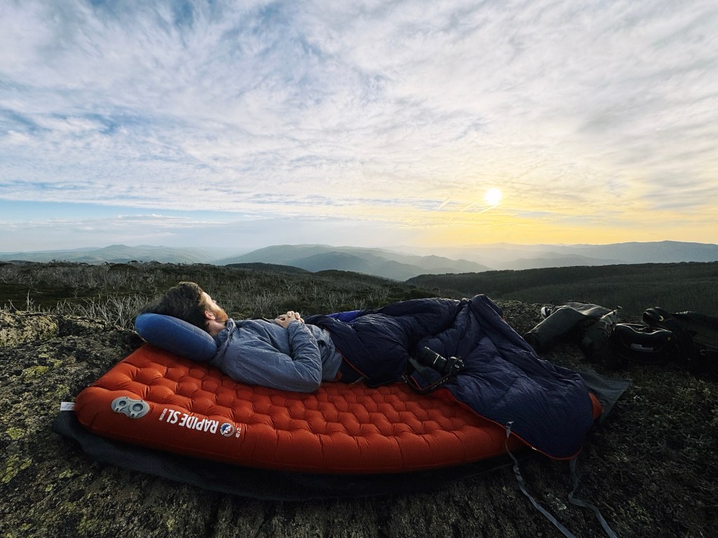
The plan was to wake up early and summit Mount Gingera for sunrise. When we unzipped the tent, the world outside was a swirling mess of cloud and howling wind. With zero visibility and no rush to freeze our fingers off on an unseen summit, we hit snooze and cocooned back into our sleeping bags.
As the sun rose, the clouds burned off, revealing a scorcher of a day. Leaving behind our heavy packs, we set off on the 4km return hike to Mount Gingera. Starting down Mount Franklin Road, we refilled our water at the small creek at the turn-off to the single track to the summit.

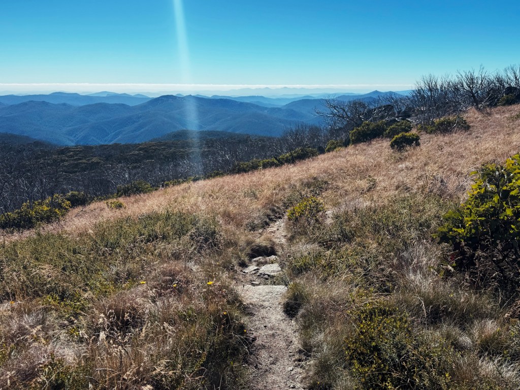
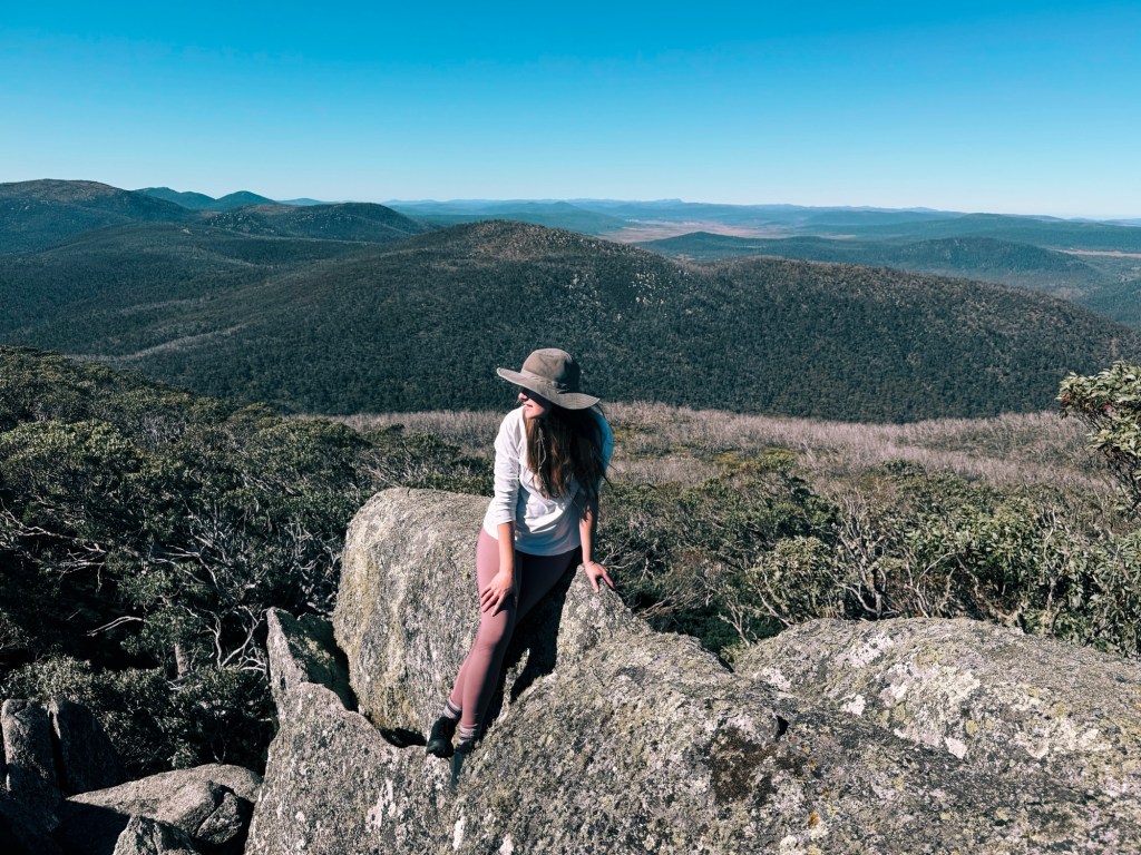
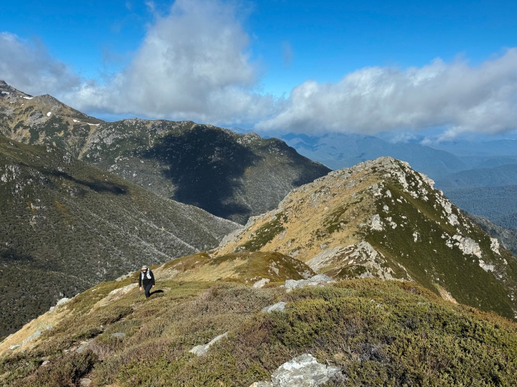
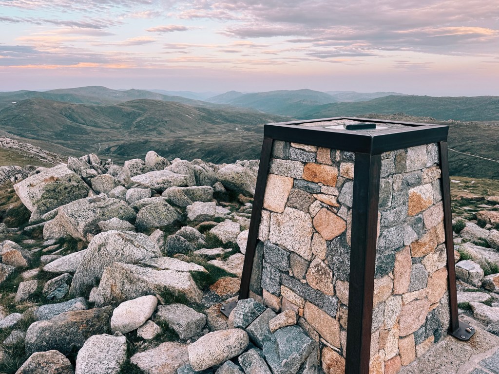
This section was easily my favourite; a narrow, winding trail weaved through towering snow gums, their twisted branches casting dappled shade over bursts of wildflowers. The track emerged above the trees, ending at some granite boulders that we scrambled onto. Views of Kosciuszko National Park sprawled out before us, the distant peaks of Mount Jagungal and the Main Range on the horizon.
After soaking in the views, we made our way back to Pryors Hut, packed up camp, and braced ourselves for Stockyard Spur’s knee-jarring descent. The return trip took half the time but demanded full concentration. Gravelly sections had us skidding, and hiking poles proved to be the real MVPs of the trip.
By the time we stumbled back to the car, the heat was punishing, and the idea of plunging into Woodland Reserve’s cool waters was seriously tempting. But in the end, our hearts (and stomachs) led us to the most important post-hike ritual: a giant, greasy burger. Because nothing says we conquered a mountain like inhaling enough calories to undo it.
Tips for the Trip
Bikes: Sorry, bikepackers, this one’s a no-go. Bikes are allowed on Mount Franklin Road up until the park gate at ‘Mount Gingera Walk Trail Head’. Once you enter the Corin Catchment area, it’s a hard no. That said, we did spot a couple of cheeky bikers at Pryors Hut.
Phone Service: Surprisingly decent! I’m with Optus and had reception from about the 5km mark once we were out of the valley. That said, always take some form of emergency communication like a PLB or sat phone.
Toilets: The car park at Corin Dam is your last chance for a toilet stop until Pryors Hut. Make use of toilets when you can.
Water: Water is available, as mentioned, near Pryors Hut and just before the climb to Mount Gingera, but there is nothing on the steep haul up Stockyard Spur. This trail sees a lot of hikers, so I recommend filtering all water.
Wildlife: Keep an eye out for snakes. We spotted a white-lipped snake on the trail, and the log book at Pryors mentioned a few more sightings. Always pack a snake bandage, and know how to use it.
Closures: Check for park closures and fire bans before heading out as conditions can change quickly in the alpine. Be prepared for any weather.

Disclaimer: Content on Path & Pedal is for general information and inspiration only. All route guides and trip reports are based on personal experience and research at the time of writing. Conditions, access, weather, and regulations can change. Always check official sources and use your own judgment. Outdoor adventures carry risk, and Path & Pedal accepts no liability for injury, loss, or damage.

Leave a comment