Forget leaving your dog at home, this one’s going straight on the bark-et list.
There’s a special kind of guilt that comes from zipping up your pack while your dog watches with those big, sad eyes. The stillness of their wagging tail. The soft whine that starts when they realise there not coming.
Sadly, most of the hikes I do are in National Parks and off-limits to dogs. So I’ve made it my mission to find trails we can do together. They’re not always well known, and they definitely won’t make the ‘great walks’ list, but when you find a track that welcomes both boots and paws, it just feels right with Bowie (my dog) by my side.
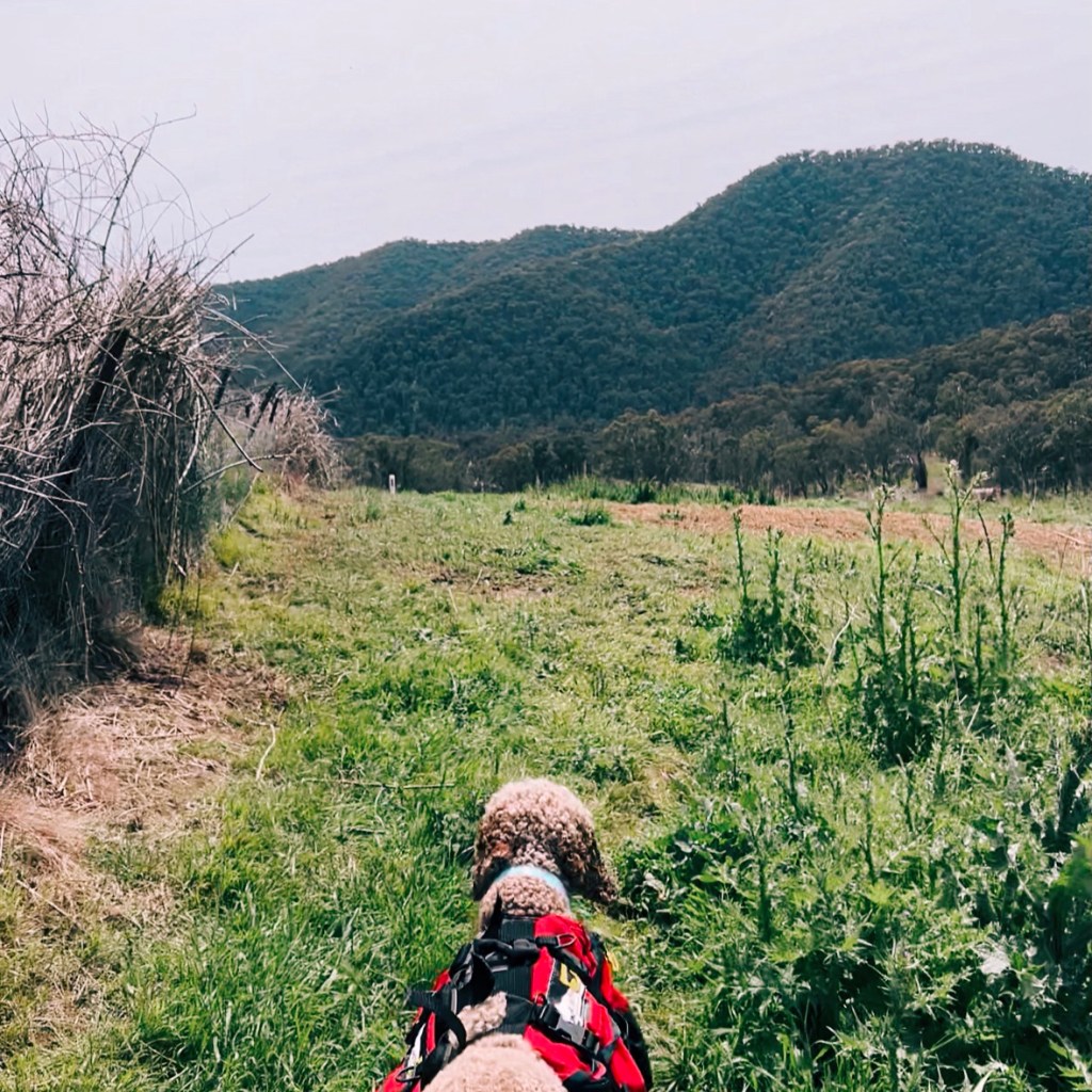
Just 1.5 hours drive southeast of Canberra, this 40km stretch of the Hume & Hovell Track is entirely dog-friendly. From Fitzpatrick Trackhead to Chinamans Creek Boardwalk, the trail weaves through State Forest; past waterfalls and wildflowers, with plenty of spots for your pup to sniff, splash, and snooze under the stars.
Skip to:
- Quick Look
- About the Hume & Hovell Track: Fitzpatrick Trackhead to Chinamans Creek
- History of the Hume & Hovell Track
- Where is Dog-Friendly on the Hume & Hovell Track
- Where to Start: Fitzpatrick Trackhead
- Where to End: Chinamans Creek Boardwalk
- Where to Stay for the Fitzpatrick Trackhead to Chinamans Creek Hike
- Trail Logistics to Hike Fitzpatrick Trackhead to Chinamans Creek
- Skill Level Needed for the Hume & Hovell Track
- Trip Report
- Tips for Hiking the Hume & Hovell Track
Quick Look
Distance: ≈40km (one-way)
Elevation Gain: ≈1677m
Duration: 2-4 days
Skill Level: Intermediate
Location: Wee Jasper, Bondo and Micalong State Forest, NSW
GPX: https://www.strava.com/routes/3345917284787908050
About the Hume & Hovell Track: Fitzpatrick Trackhead to Chinamans Creek
The Hume and Hovell (H&H) is a 425km long-distance walking track that runs from Yass to Albury in NSW. This 40km dog-friendly section from Fitzpatrick Trackhead to Chinamans Creek Boardwalk travels through Wee Jasper, Bondo and Micalong State Forests. While the full H&H is designed as a thru-hike, this section works perfectly as a stand-alone adventure. You can walk it as a solid multi-day trip, split it into an overnighter, or even day hike sections thanks to the gravel road access along the way.
History of the Hume & Hovell Track
The Hume & Hovell Track winds its way through Wiradjuri Country, the traditional lands of several Aboriginal groups including the Wiradjuri and Ngunnawal people. The route follows the 1824 expedition of Hamilton Hume and William Hovell, who set out to explore the western rivers of New South Wales. Their journey played a role in shaping early European settlement, but the story of this land began long before they arrived. The Snowy Valleys Council is working to bring Aboriginal culture and knowledge back into focus through initiatives, including the introduction of dual place names and improving the visibility of Aboriginal heritage. More information can be found in the Strategic Plan.
Where is Dog-Friendly on the Hume & Hovell Track
Dogs aren’t allowed in National Parks, Nature Reserves, or on private property, but they are welcome in NSW State Forests, which make up most of this section. Rules around leads can vary slightly between forests, but dogs must always be under control. 1080 baiting is used throughout this area for pest control, and I’ve spotted snakes out here too, so keeping your dog close is a smart move for their safety.
There was one spot where I wasn’t sure if we were crossing private land. A stile over a fence and a few curious cows made me question it, but the official Hume & Hovell website lists the whole section as dog- and bike-friendly. That said, always keep your dog on a lead and under control, especially around livestock and native wildlife.
If you’re new to hiking with a dog (especially overnight hiking), check out these tips before you go: 7 Tips for Overnight Hiking with a Dog
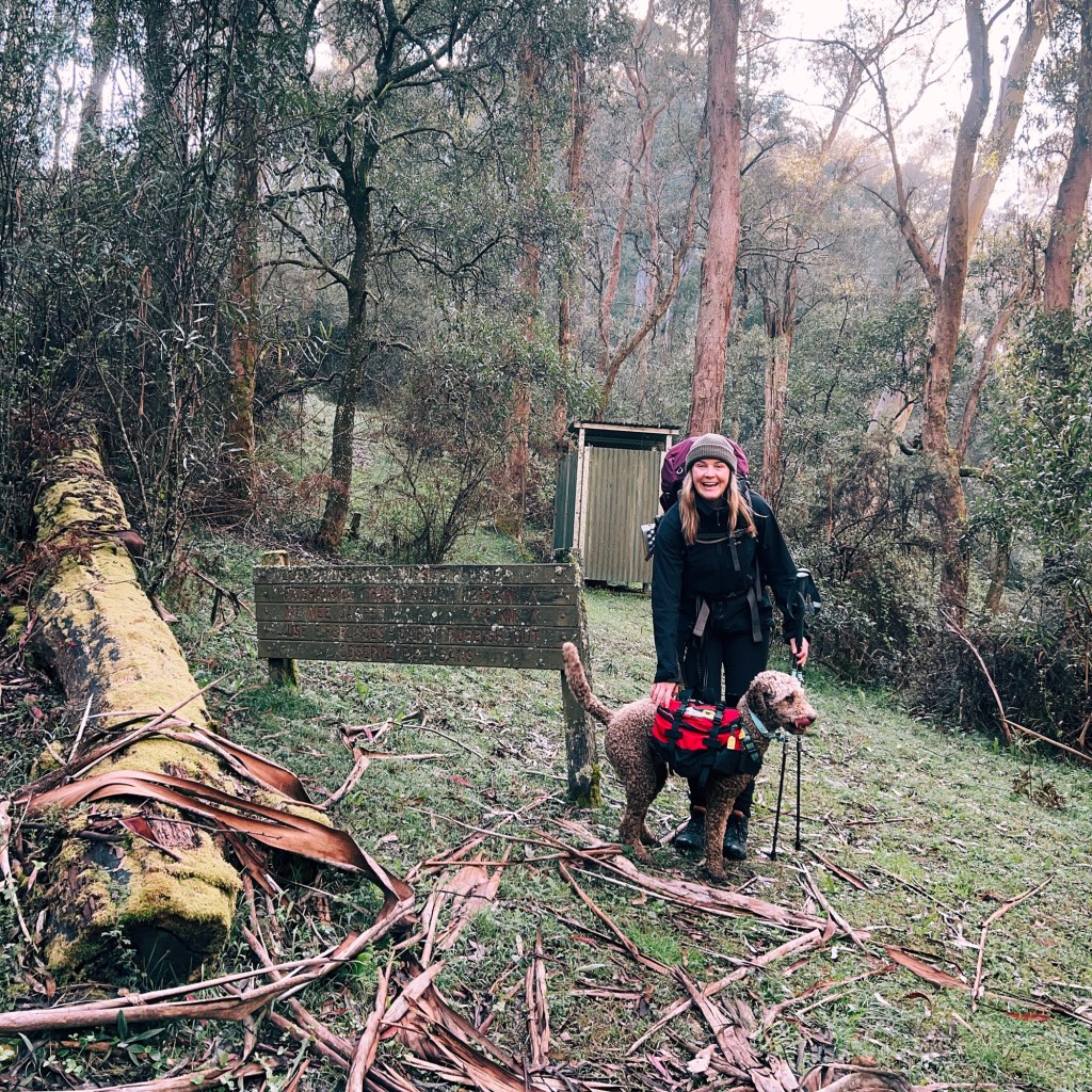
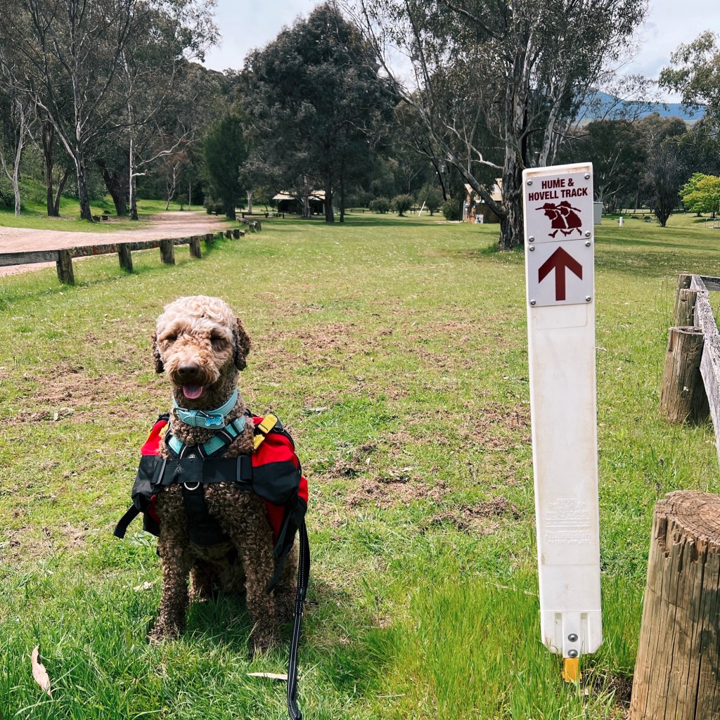
Where to Start: Fitzpatrick Trackhead
Fitzpatrick Trackhead Reserve sits just outside Wee Jasper, around 1.5 hours west of Canberra and about 3.5 hours south of Sydney. The trail can be a little hidden within the camping area: when you enter, look for the white Hume & Hovell trail marker (featuring two red explorers in big hats) in the back right corner of the campground.
Where to End: Chinamans Creek Boardwalk
I’d recommend parking near the junction of Brindabella Road and Micalong Road. It’s less than an hours drive south of Fitzpatrick Trackhead and about 30-minutes from Tumut. The forest roads are easy to miss (we found out the hard way), and most aren’t signed. Again, keep an eye out for the white Hume & Hovell trail markers.
Where to Stay for the Fitzpatrick Trackhead to Chinamans Creek Hike
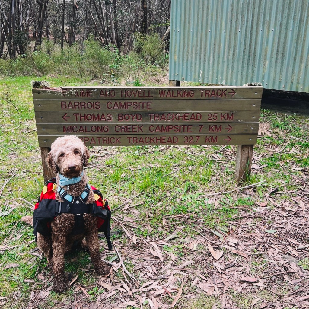
Fitzpatrick Trackhead is a beautiful spot in its own right. If you’re a weekend warrior hiking north to south, I highly recommend camping here the night before you start. If you’re hiking south to north, Barrois Campsite is the best option. It’s tucked off Brindabella Road on an unnamed 4WD track between Argalong Road and Micalong Road. It’s not as scenic or well maintained as Fitzpatrick, but it’s a solid Friday night option.
Trail Logistics to Hike Fitzpatrick Trackhead to Chinamans Creek
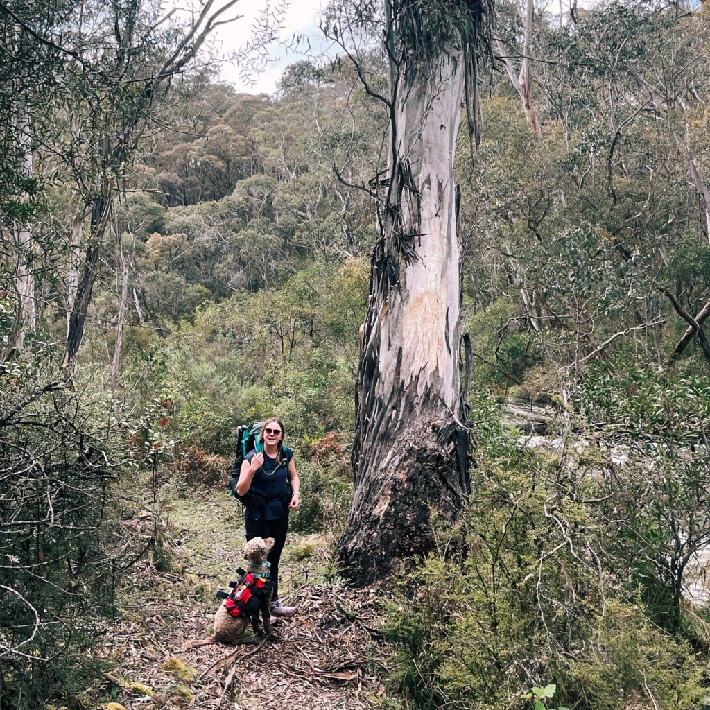
Walking this 40km section as an end-to-end hike does require a car shuttle. Since I usually hike solo with my dog, I’ve done it in smaller chunks. I’ve walked in from Fitzpatrick, camped at Logbridge Creek, and hiked back the next day. Another time I started from Brindabella Road near Barrois Campsite and walked into Micalong Creek Campsite and back. Both made great overnight hikes.
Skill Level Needed for the Hume & Hovell Track
The full Hume & Hovell Track is rated as Grade 5, but I think this section sits closer to Grade 4. Navigation skills are handy as signage is limited, and parts of the trail can be overgrown with the odd fallen tree.
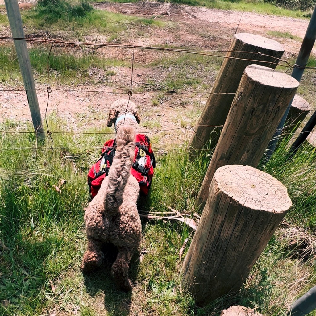
As for dogs, I’d recommend they’re an intermediate to advanced trail companion, unless you’re happy to carry them over obstacles or if they tire. There are a couple of fences with stiles, and some rocky scrambles where Bowie struggled, but a harness made all the difference.
Trip Report
Day 1: Fitzpatrick Trackhead to Logbridge Creek Campsite via Wee Jasper Summit
≈12km, 830m elevation gain
We started out at Fitzpatrick Trackhead and immediately faced my first challenge: lifting Bowie over a stile (the first of many to come). I had to scoop up all 23kg of my fluff ball and heave him over, while he looked mildly concerned about what the heck I was doing.
The track begins through rolling hills and boulder fields before hitting another stile (basically a full-body workout), then settles into a stretch of 4WD track. When we reached Wee Jasper Road, the trail connected with an alternative high route through Wee Jasper Reserve (which isn’t dog-friendly) off to the right. Make sure to head left, over the fence. The climb kicks off here, with a 390m ascent skirting the edge of a working farm. We passed a few curious cows, and I kept Bowie close to avoid startling them.
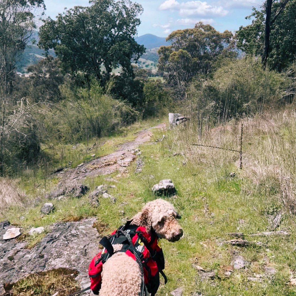
After another stile and fence crossing, we entered native forest. It was spring, so Bowie splashed in the flowing creeks (I assume they’d be long gone in summer) and wildflowers lined the trail. Near the top, we weaved through a labyrinth of logging roads in the pine plantation before popping back into Aussie bushland at the summit of Mt Wee Jasper.
At 1121m, it’s one of the highest points on the Hume & Hovell Track. The views are mostly blocked by tall trees, but there’s a little chair and a logbook, perfect for a snack stop.
The descent took us down a narrow path that merged into another 4WD track through more pine. That’s when we saw it.. a big feral horse blocking the trail. I hoped he’d wander off, but he stamped and huffed like he owned the place. Thankfully, my brave protector Bowie barked and scared him off, and we snuck past quickly.
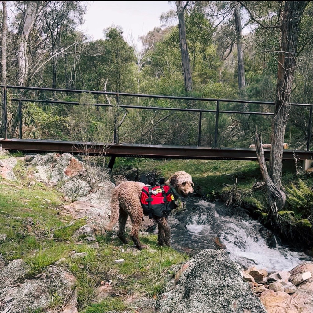
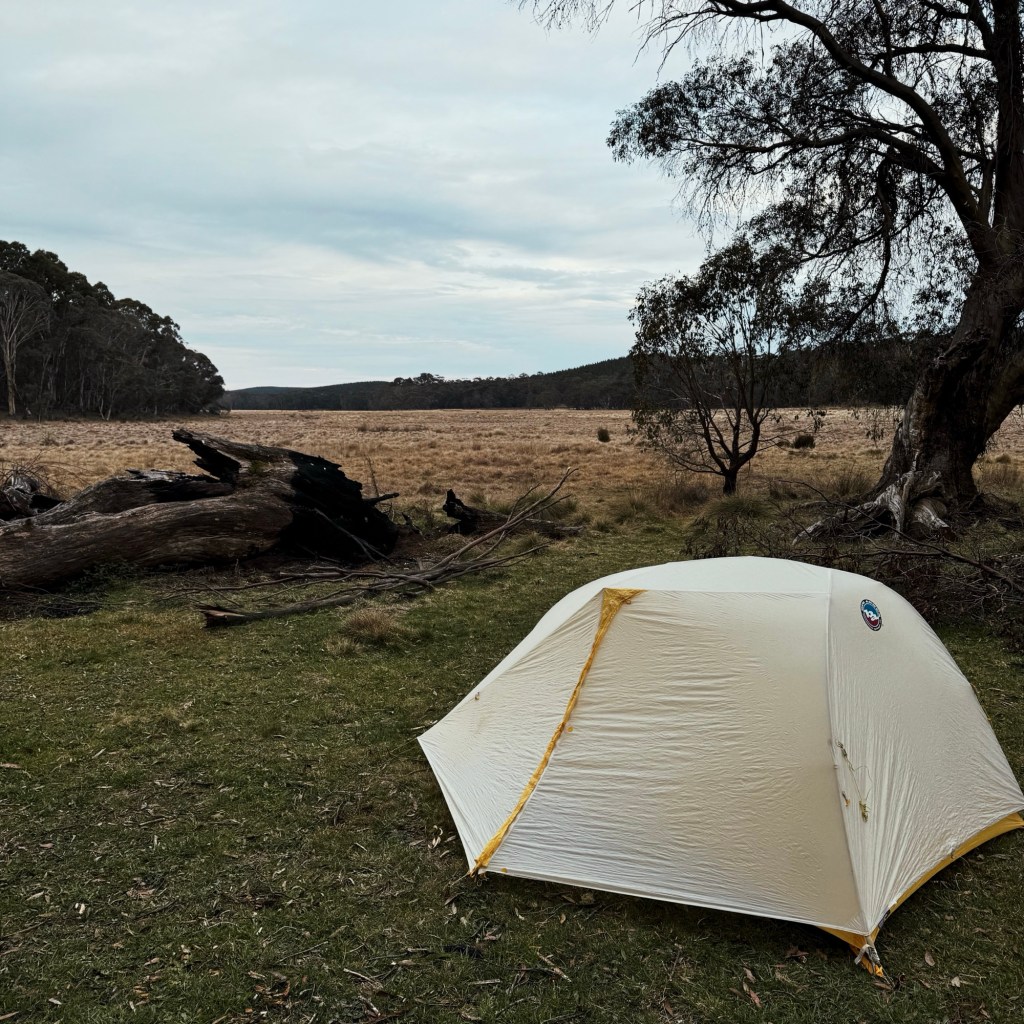
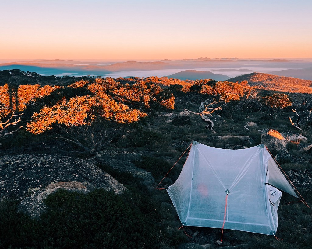
From there, we rejoined a beautiful section of singletrack through native forest, following Logbridge Creek all the way to the campsite.
Day 2: Logbridge Creek Campsite to Micalong Creek Campsite
≈13km, 550m elevation gain
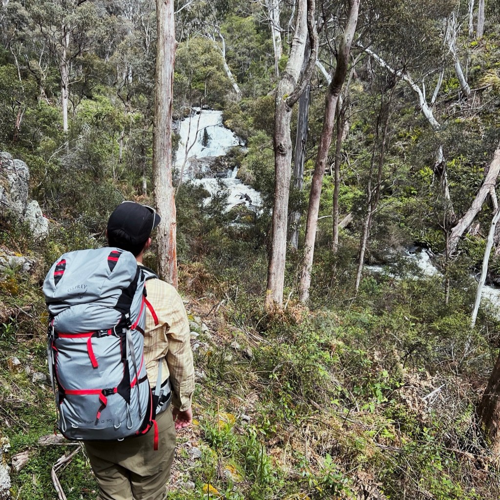
Leaving Logbridge Creek Campsite, the track crosses the creek and climbs up a short scree slope before joining a logging road that skirts the edge of a pine plantation. It dips back into singletrack, descending beside Millers Creek before swinging into the cooler, shadier valley of Pompey Pillar Creek. Along the way, you’ll pass one of the highlights of the entire trip, Pompey Pillar, a 6-metre-high rock formation carved by erosion.
From here, it’s a steady climb out of the valley, following forest roads where the déjà vu might kick in as you enter yet another pine plantation. The trail then drops back into narrow singletrack, crosses Four Trees Road, and eventually joins up with Micalong Creek.
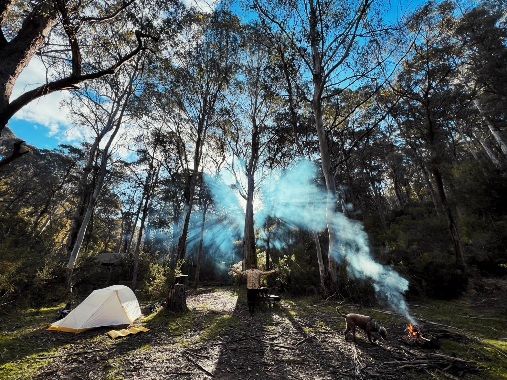
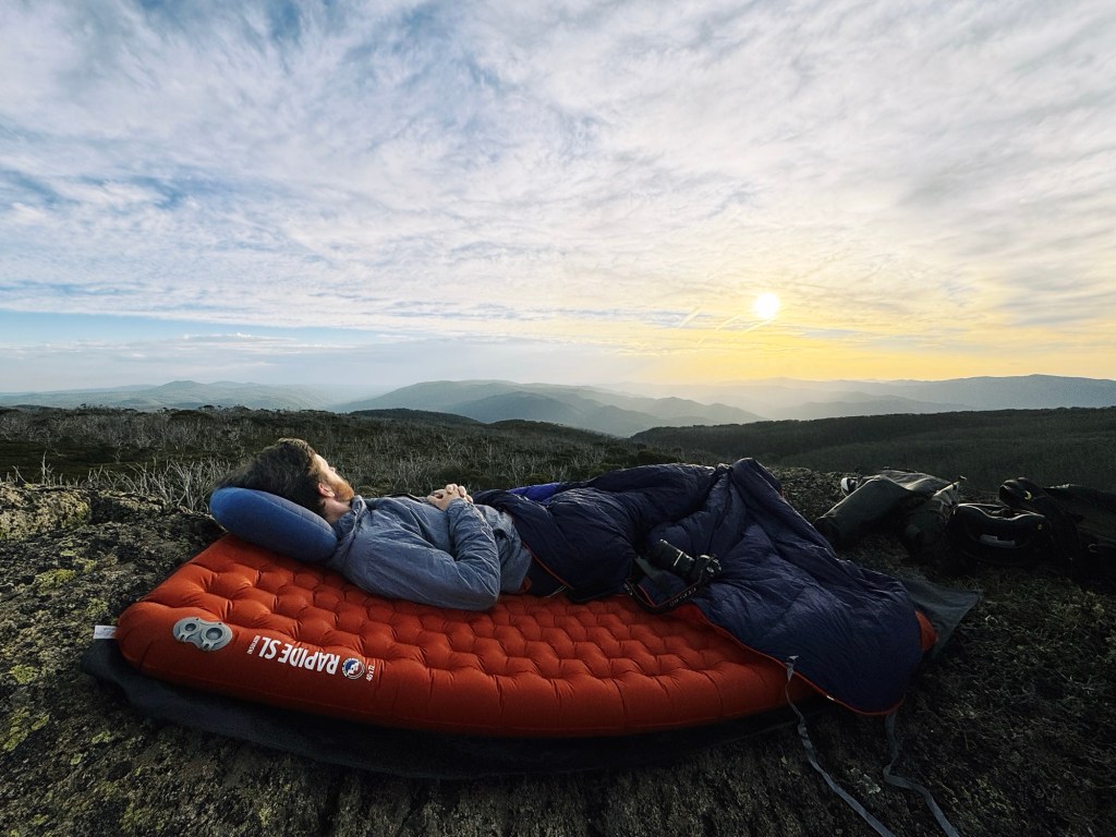
The final stretch is a scenic walk, following the water all the way to Micalong Creek Campsite. This one’s my pick of the trip; with a little waterfall nearby and a shelter strung with solar-powered fairy lights, it felt like the perfect escape.
Day 3: Micalong Creek campsite to Barrois campsite (Brindabella Road)
≈8.5km, 250m elevation gain
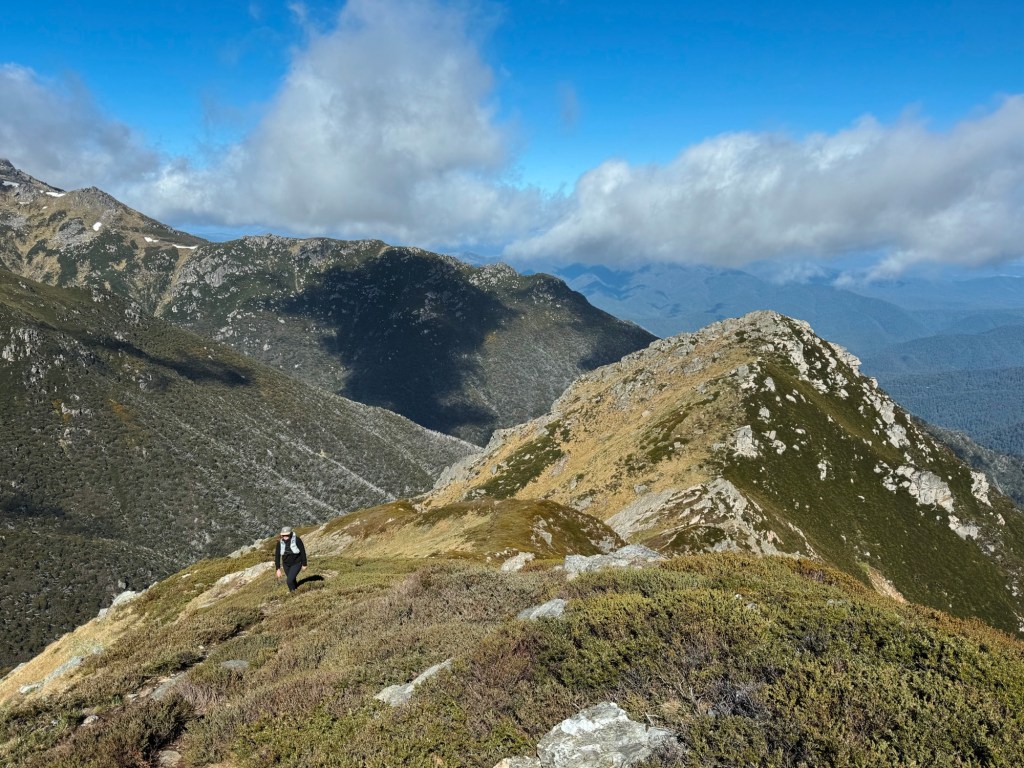
The final day was surprisingly my favourite section. There aren’t any major landmarks or epic climbs, but maybe that’s why it felt so good. Most of the trail follows the beautiful Micalong Creek, especially stunning after rain, and aside from the final stretch on fire trail, it’s all singletrack.
There’s a small rock scramble and the biggest waterfall of the whole section hidden along this stretch. Maybe it was the sound of the flowing creek, the golden morning light through the trees, or just the high of spending days hiking with my favourite adventure buddy, Bowie. This final leg hit differently!
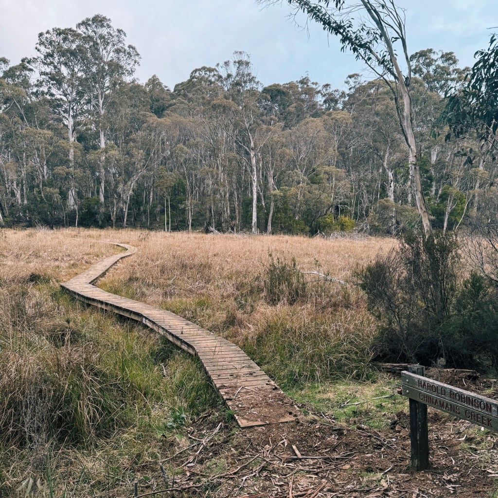
Optional Side-Trip: Micalong Swamp (2.20km) or Chinamans Creek Boardwalk (6km)
Since the final day is fairly short, I recommend dropping your multi-day pack at the car and heading out for a side trip. Micalong Swamp is an easy 2.2km (one-way) away and is the largest mountain swamp on mainland Australia. It’s also home to the endangered Northern Corroboree Frog.
If you’re still feeling good on the legs, keep going to Chinamans Creek Boardwalk (6km one-way). There’s a great little wild campsite about 300m down the road to the left after the boardwalk, perfect if you want to stretch your trip an extra night.
These areas are located within State Forest and the Micalong Swamp Flora Reserve (still dog-friendly) but be aware not to continue too far past Chinamans Creek Boardwalk and enter the northern border of Kosciuszko National Park. Kosciuszko National Park is not dog-friendly.
Tips for Hiking the Hume & Hovell Track
Phone Service
Non-existent. I had the tiniest bit of reception at the top of Mt Wee Jasper, but otherwise, you’re off-grid. Carry an emergency beacon or PLB just in case.
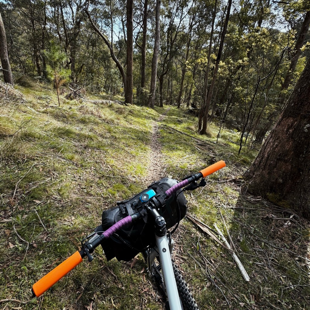
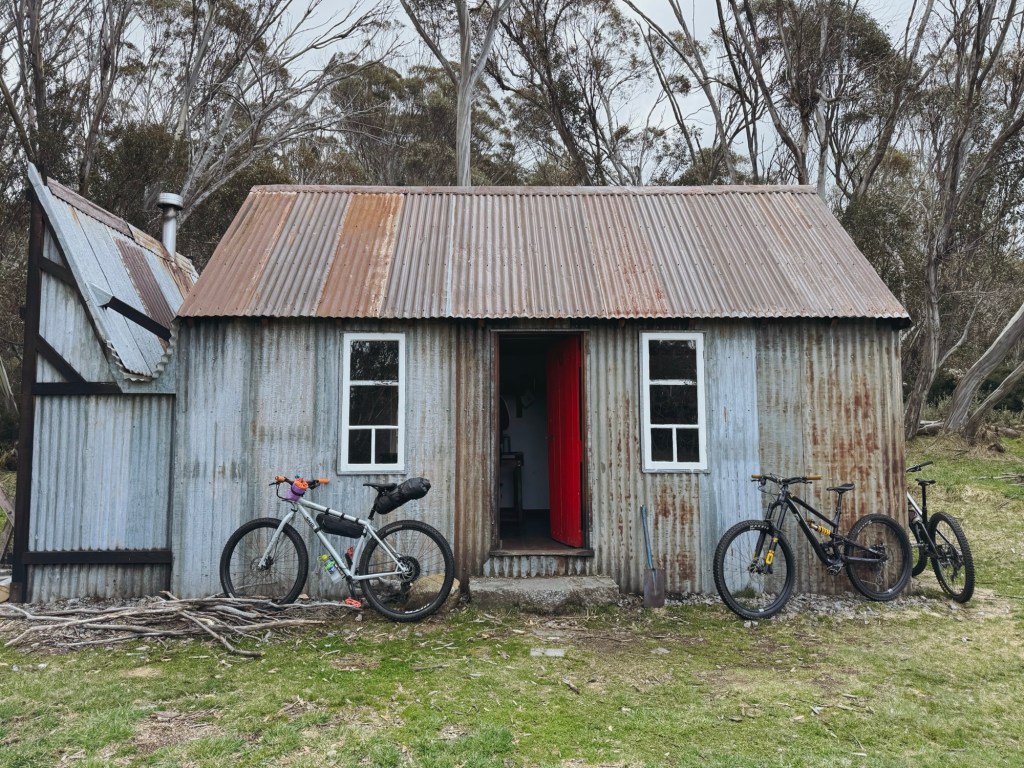
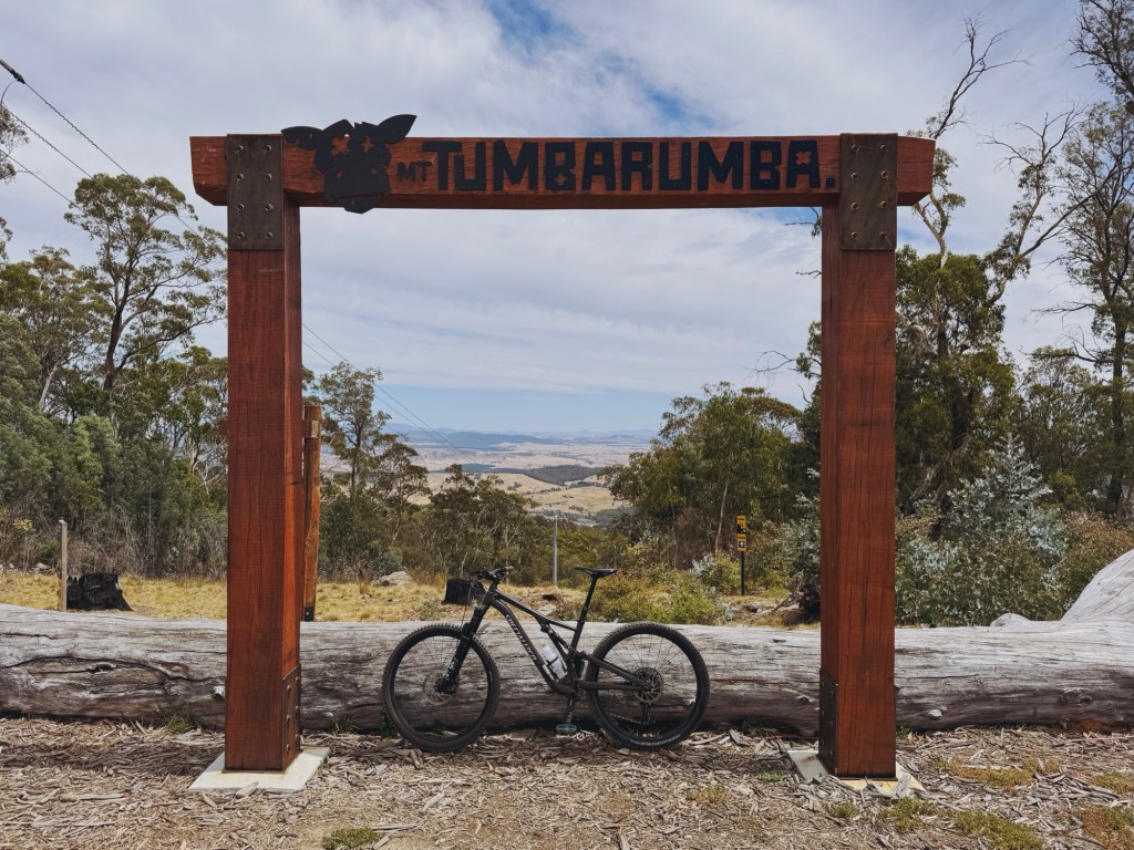
Bikes
Surprisingly, bikes are allowed on this entire section of the Hume & Hovell Track. That said, some parts are be very technical (I know because I’ve ridden it!). Definitely MTB-only terrain.
Track Closures
Always check the Forestry Corporation website for any forestry operations before heading out. The Hume and Hovell page is also kept up-to-date with any track works and closures.
Water
Logbridge Creek and Micalong Creek were flowing well when I visited. Other creeks along the track are a bit more hit-and-miss, especially outside of spring. Always carry extra and bring a filter.
Toilets & Shelters
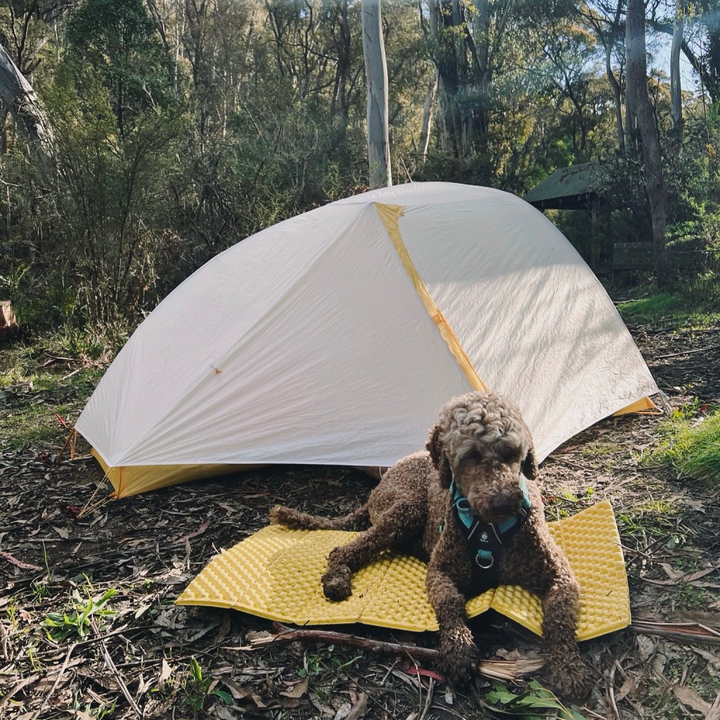
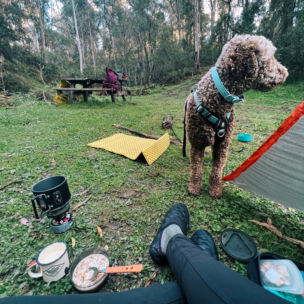
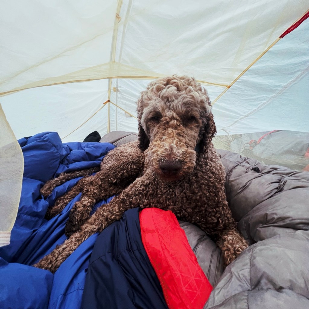
All main campsites have a drop toilet and a basic shelter (just don’t expect toilet paper). Logbridge Creek had sleeping platforms inside the shelter, while Barrois and Micalong Creek had a picnic table under cover. Honestly, they were all nicer than expected.
Disclaimer: Content on Path & Pedal is for general information and inspiration only. All route guides and trip reports are based on personal experience and research at the time of writing. Conditions, access, weather, and regulations can change. Always check official sources and use your own judgment. Outdoor adventures carry risk, and Path & Pedal accepts no liability for injury, loss, or damage.

Leave a comment