As the highest peak in the Australian Capital Territory (ACT), Mount Bimberi feels like it should sit high on everyone’s must hike list. But it rarely does.
Overshadowed by its nearby big sister, Mount Kosciuszko, Bimberi flies under everyone’s radar. What it lacks in lookout platforms and distinguished walking trails, it makes up for in complete solitude. For me, that is exactly the appeal.
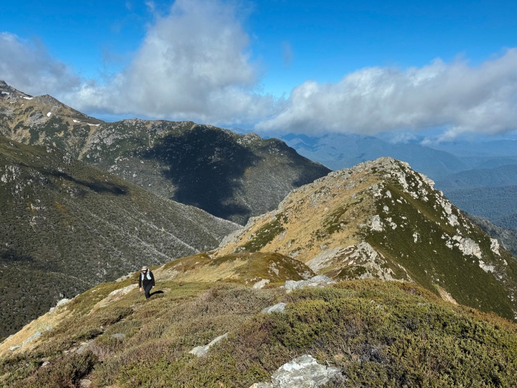
It feels wild in a way that is getting harder to find. You earn the summit, every step of the way. And when you finally pop out above the scrub onto that open peak you have uninterrupted 360 degree views into Kosciuszko National Park and across the layered ridgelines of Namadgi National Park.
There are three different routes to Mount Bimberi, depending on how much time you have, how confident you are navigating off track, and how much effort you want to throw at bagging ACT’s highest peak. Whichever path you choose, be warned, none of them are beginner-friendly.
Skip to:
- About Mount Bimberi
- Where to Camp Near Mount Bimberi
- Skill Level Needed to Hike to Mount Bimberi
- Best Time to Hike to Mount Bimberi
- Option 1: Hiking Mount Bimberi from Pockets Saddle Road
- Option 2: Hiking Mount Bimberi from Orroral Road
- Option 3: Hiking Mount Bimberi from Mount Franklin Road
- Tips for Hiking to Mount Bimberi
About Mount Bimberi
Mount Bimberi sits on the traditional lands of the Ngunnawal people, who have maintained deep cultural connections to this Country for thousands of years. Like many alpine areas across the south-east, this landscape holds songlines and seasonal pathways that long predate modern borders and park boundaries.
The mountain itself rises to 1912 metres on the ACT-NSW border. It straddles both Namadgi National Park and Kosciuszko National Park making it feel far more remote than its map location suggests from the Canberra city.

Where to Stay Nearby Mount Bimberi
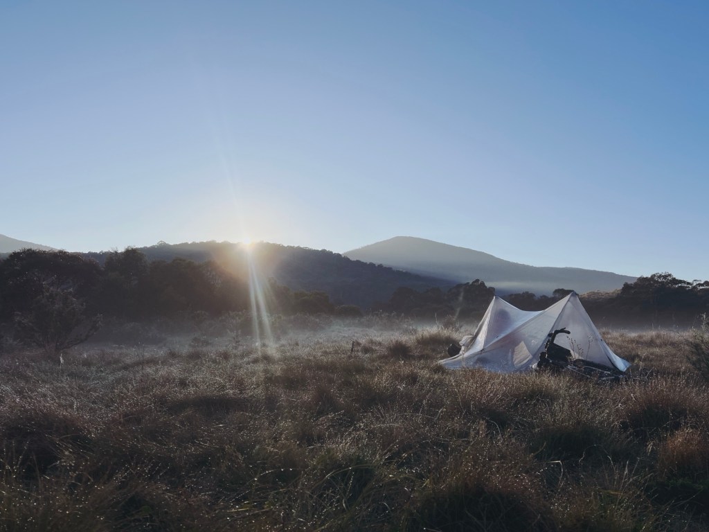
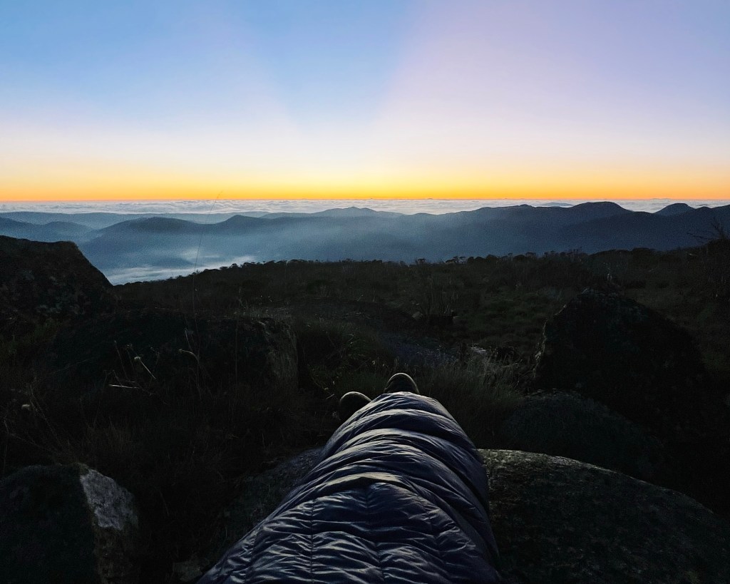
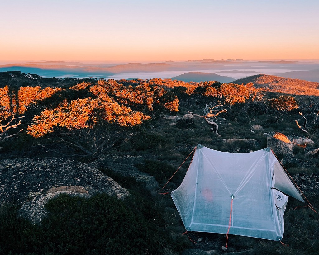
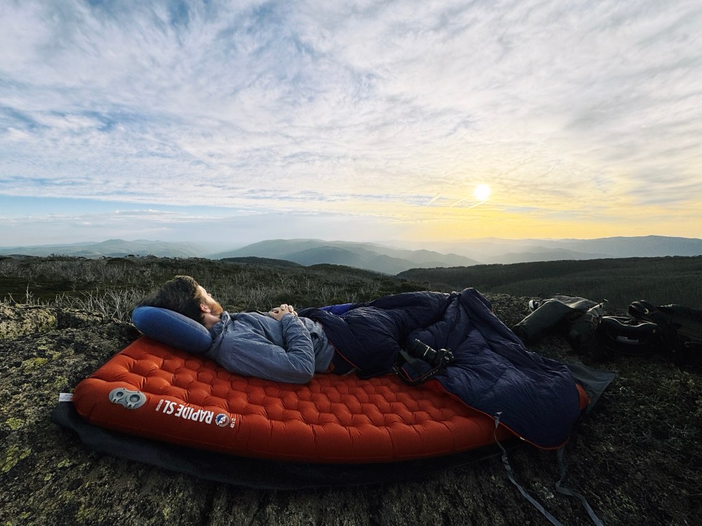
In stable weather, you can camp directly on the summit, but speaking from experience, it is wildly exposed. There is little protection from wind, and storms roll across the border fast. I have woken up to my tent flapping in gusts that were not forecasted the night before.
A far more protected option is Murrays Gap, tucked just below the summit to the south on the ACT-NSW border. It is flat, sheltered, and a much smarter choice if the weather looks even slightly questionable.
If you are camping near the border, make sure you pitch on the NSW side. The ACT side drains into the Cotter Catchment water supply zone where camping is prohibited. It is not signed clearly, so check your map before you set-up camp.
Skill Level Needed to Hike Mount Bimberi
Every route to Mount Bimberi sits firmly in the intermediate to advanced category. For all approaches, much of the walk follows fire trail or single track, but the final push to the summit is an entire different story. No matter which direction you come from, navigation is required. There are no summit markers, the footpad fades and the scrub thickens.
You need to be comfortable reading terrain, using a map, and managing long days in steep alpine country. The ‘Pockets Saddle Road route’ is considered the easiest, but even that should not be underestimated.
Best Time to Hike Mount Bimberi
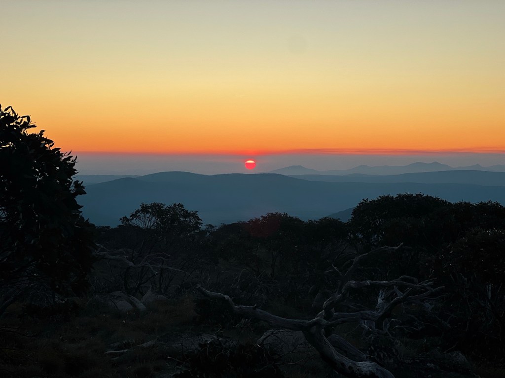
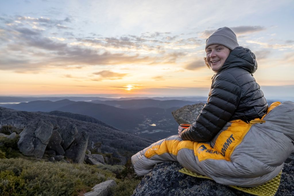
You can hike to Bimberi year round, but the best time is late spring through to early autumn. This is when temperatures are milder, daylight hours are longer, and the alpine wildflowers bloom across the high plains. In winter, snowfall is common, and can settle on the ground for weeks. Expect below zero temps, gale force winds, and potential whiteout conditions on the summit.
Regardless of the season, be prepared for all conditions up high and always check the forecast before heading out.
Option 1: Hiking Mount Bimberi from Pockets Saddle Road
Start/End Point: Carpark at locked gate on Pockets Saddle Road, Kosciuszko National Park, NSW
Difficulty: Intermediate
Distance: 10.7km (one-way)
Elevation Gain: 830m (one-way)
Duration: 1-2 days
GPX: click here
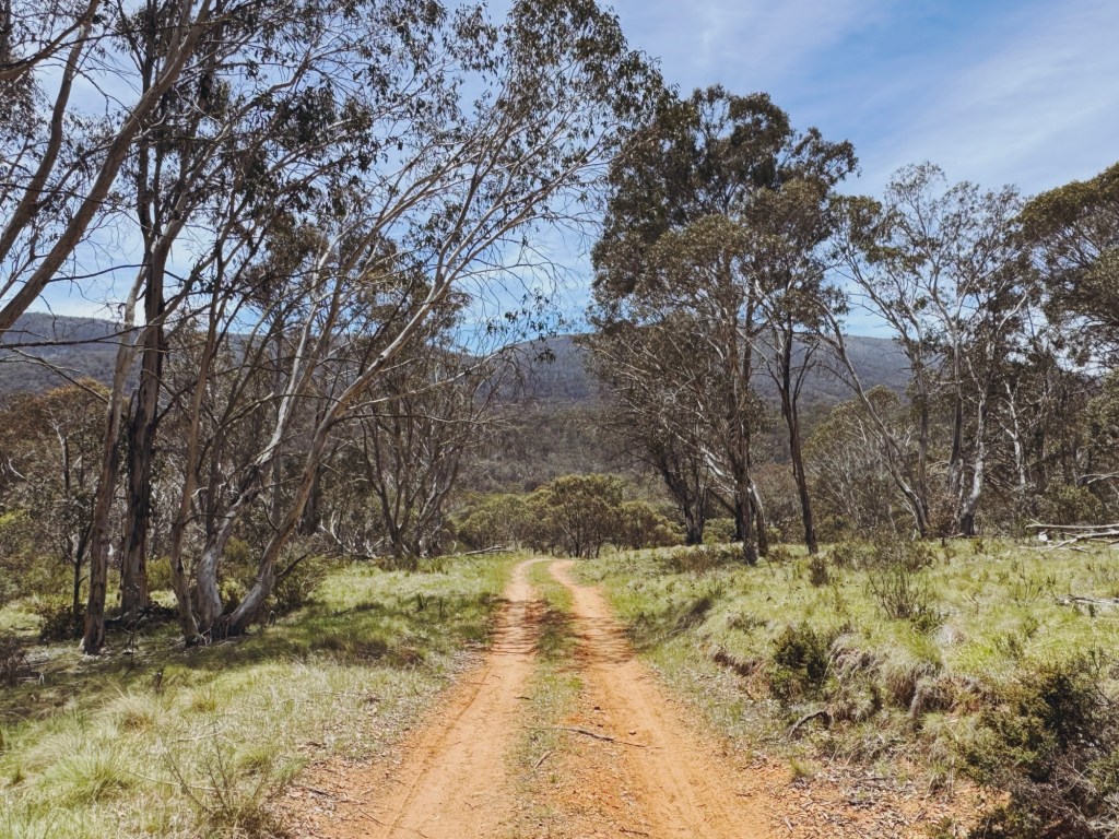
This is the shortest and most straightforward way to reach Mount Bimberi, though it comes at the cost of a long drive, roughly three hours from Canberra. The route approaches from the south-west, beginning along management trails that roll gently across open plains before climbing up and over to Oldfields Hut.
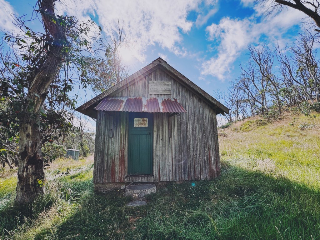
Oldfields Hut is a solid overnight option if you want to lighten the load and summit with a daypack. There is plenty of space to camp, a toilet, water nearby, and big open views toward Mount Bimberi and Mount Murray.
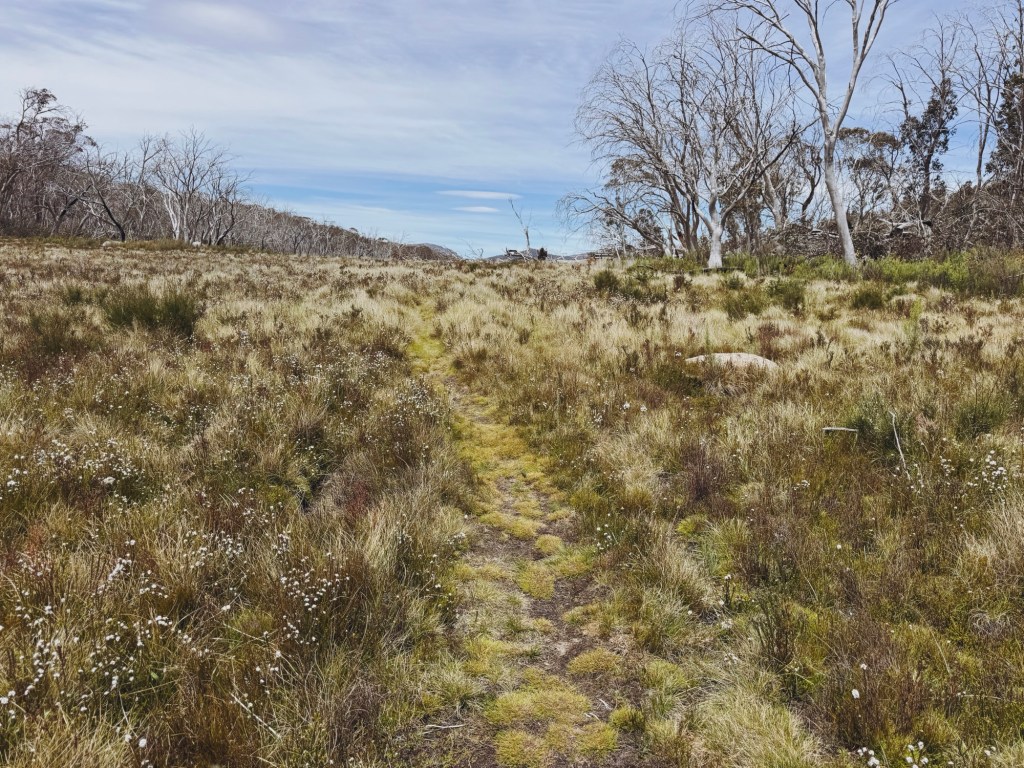
From Oldfields, the climb begins to bite. Dunns Flat Creek is your last reliable water source before Murrays Gap, so fill up here if you plan to camp on the summit. Right at the border sign, a small cairn marks the start of the summit footpad across the bog (calling it a “pad” is generous). It fades in and out through scrub and grass, forcing you to pick your own line most of the way.
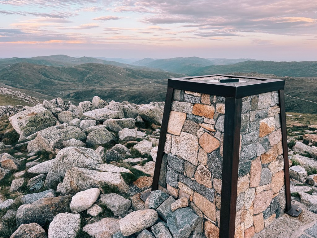
After a couple of false summits and a fair bit of puffing, the climb finally plateaus and that big white trig appears across the boulder strewn crown.

Option 2: Hiking Mount Bimberi from Orroral Road
Start/End Point: Former Orral Valley Tracking Station Carpark, Namadgi National Park, ACT
Difficulty: Intermediate
Distance: 25.1km (one-way)
Elevation Gain: 1489m (one-way)
Duration: 2-3 days
GPX: click here
This is the longest route to Mount Bimberi and easily the most physically demanding. It approaches from the north-east via sections of the Australian Alps Walking Track (AAWT) through Namadgi National Park.
The walk begins at Orroral Valley along a well defined gravel road before turning onto grassy AAWT trail. Depending on when it was last cleared, the track can range from cruisy single track to thigh high grass that hides the path entirely. You climb steadily before dropping toward the Cotter River with huge views over the Cotter Valley and your first glimpse of Mount Bimberi on the skyline. Cotter Hut makes a good lunch stop. It is locked and has no toilet, but the flats nearby allow camping with a permit if you want to split the trip across multiple days.
The climb from Cotter Valley to Murrays Gap is long, slow, and honestly brutal. It follows an old vehicle trail that narrows the higher you go. I remember convincing myself I must have been close at least five separate times. You eventually crest into Murrays Gap where this route intersects the Pockets Saddle approach. From here, the summit push follows the same faint footpad and scratchy scrub all the way to the top.
Option 3: Hiking Mount Bimberi from Mount Franklin Road
Start/End Point: Mount Ginini Car Park, Namadgi National Park, ACT
Difficulty: Advanced
Distance: 21.5km (one-way)
Elevation Gain: 825m (one-way)
Duration: 2-3 days
GPX: click here
Of the three routes, this one is the most challenging from a navigation perspective. Ironically, the beginning feels like the easiest. Starting from Mount Ginini Carpark in Namadgi National Park, you follow Mount Franklin Road past Pryors Hut and the optional side trip up Mount Gingera. The road traces the ACT-NSW border, contouring the mountainside with wide open views most of the way. It feels cruisy, scenic, almost too easy. That all changes quickly at the junction with the Leura Gap Trail.
From here, the comfort of the road disappears and the climb is fully off track. I turned straight uphill toward Bimberi, picking my way through scrub and grass along whatever line looked least painful. Once I broke above the treeline, everything opened up and flattened out. Finally, across the grassy summit, the white trig came into view.
Tips for Hiking to Mount Bimberi
Phone service: I am with Optus and only get reception on the summit and along parts of the Mount Franklin Road route. Do not rely on phone service, and always carry a form of emergency communication like a satellite phone or personal locator beacon (PLB).
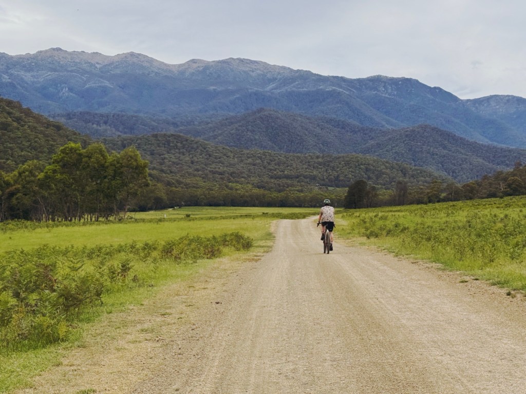
Bikes: Bikes are not allowed on any ACT routes due to the trails passing through Canberra’s drinking water catchment. From the NSW side, you can ride a gravel or mountain bike up to the locked gate past Oldfields Hut, then continue on foot.
Closures: Always check park alerts before heading out. Fire danger, aerial shooting, and road or track maintenance regularly close access in both Kosciuszko and Namadgi National Parks.
Water: There is water along all routes, however there is no water once the climb to the summit of Mount Bimberi begins. Carry a filter or purification tablets and be aware of where your last reliable water source is.
Wildlife: Expect snakes in summer, funnel-web spiders if you are unlucky, plenty of kangaroos and wallabies, and the occasional feral pig. Be sure to carry a snake bandage and know how to use it correctly.
Huts and toilets: Facilities are minimal. Oldfields Hut and Pryors Hut both have toilets, however Cotter Hut does not, so plan accordingly, and always leave no trace.
Disclaimer: Content on Path & Pedal is for general information and inspiration only. All route guides and trip reports are based on personal experience and research at the time of writing. Conditions, access, weather, and regulations can change. Always check official sources and use your own judgment. Outdoor adventures carry risk, and Path & Pedal accepts no liability for injury, loss, or damage.

Leave a comment