The Snowies Alpine Walk officially opened on December 2, 2024. Spanning 55 km, this multi-day trail combines new and existing tracks into a four-day hike, connecting some of the best parts of the Main Range and surrounds in Kosciuszko National Park.
While the official route is stunning, it’s not the most practical for hikers. It involves a 1.5-hour car shuttle to walk the trail end-to-end. Not to mention, the recommended accommodations, though nice, are located far from the route. For those without a chauffeur, it can feel like a logistical nightmare.
I’ve created an alternative lollipop loop that skips the hassle and maximizes the adventure. Whether you’re visiting Kosciuszko National Park for the first time or returning to bag a few more peaks, this route offers the best of the Snowies Alpine Walk, with the freedom of remote (wild/freedom) camping and avoiding the need for prearranged shuttles.
What is a lollipop loop?
A lollipop loop is a hiking route that’s shaped, well.. like a lollipop. It starts with an out-and-back trail (the ‘stick’) leading to a loop (the ‘candy’). On this route, the ‘stick’ is the hike from Bullocks Flat to Charlotte Pass. The ‘candy’ is the loop around the Main Range, returning to Charlotte Pass before retracing the ‘stick’ back to Bullocks Flat.

Skip to:
- Quick Look
- History of Kosciuszko National Park
- Where to Wild Camp in Kosciuszko National Park
- Skill Level Needed to Hike the Snowies Alpine Walk
- Best Time to Hike the Snowies Alpine Walk
- Where to Stay Near the Snowies Alpine Walk
- Where to Park for the Snowies Alpine Walk
- Trip Report
- Tips for Hiking the Snowies Alpine Walk
Quick Look
Distance: 85km approx.
Elevation Gain: 3300m approx.
Duration: 3-5 Days
Skill level: Intermediate/Advanced
Location: Kosciuszko National Park, NSW
GPX: https://www.strava.com/routes/3300704531001162256
History of Kosciuszko National Park
The Snowy Mountains have been home to the Ngarigo people for thousands of years. During colder months, they sheltered in the valleys, while warmer seasons saw them ascend to the high country for ceremonies and the annual bogong moth harvest. In 1840 a team of 3 european explorers, along with 2 Aboriginal guides climbed the highest peak on Mainland Australia, and named it Mount Kosciuszko. By 1909, the completion of the Summit Road to Mount Kosciuszko’s peak set the foundation for what would eventually evolve into this very track.
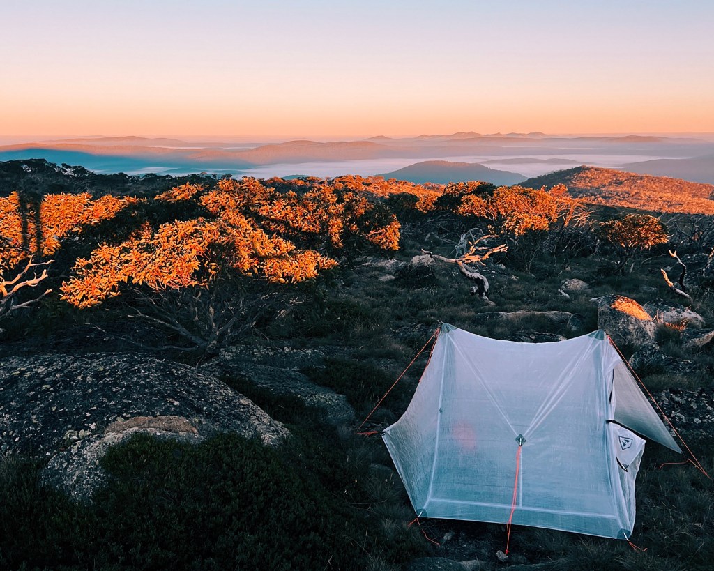
Where to Wild Camp in Kosciuszko National Park
The Snowies Alpine Walk is unlike other ‘Great Walks’ in Australia. While the trail itself is beautifully maintained and includes newly constructed sections, NSW National Parks decided against building infrastructure for the campsites along the route. Instead, wild camping is allowed in Kosciuszko National Park but with some important restrictions to ensure we preserve this incredible environment and maintain the privilege of wild camping.
Where you can NOT Camp in Kosciuszko National Park:
To protect water quality and sensitive alpine ecosystems, camping is prohibited in the catchments of certain lakes and streams, including:
- Lakes: Lake Albina, Blue Lake, Club Lake, Lake Cootapatamba, and Hedley Tarn.
- Creeks: Rocky Creek (Perisher/Porcupine area), Pipers Creek (Prussian Flat), Stilwell Creek (Stilwell/Charlotte Pass), and Blue Cow Creek (New and Old Farm Creeks).
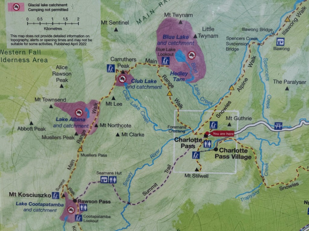
Additionally, camping is not allowed within 200 meters of these areas:
- Charlotte Pass, Crackenback Chairlift, Guthega Village, and Guthega Power Station trailheads.
- The walkway from Crackenback (Kosciuszko) Chairlift to Mount Kosciuszko.
- The summit of Mount Kosciuszko and Rawson Pass.
- The Main Range walk crossing the Snowy River (below Charlotte Pass).
- Any road open to public vehicles unless it’s a designated walk-in campsite.
Must camp at least 30 meters away from any river, or stream. Camp fires are not allowed in the alpine area.
(Information sourced from NSW National Parks)
The campsites recommended in this guide are thoughtfully chosen to comply with these rules while ensuring an epic camping experience. It’s essential to stick to Leave No Trace principles in this fragile alpine environment. This includes carrying out all waste. Yes, that means poo, too!
Luckily, there are three toilets along this route: at Charlotte Pass, Seamans Hut, and Rawson Pass. Make use of them when you can.
Skill Level Needed to Hike the Snowies Alpine Walk
This lollipop loop is well-marked except for the section between Illawong Bridge and Mount Twynam. This part of the route is not included in the official Snowies Alpine Walk and follows a footpad without any markers, requiring basic navigation skills. I have included an alternate (but longer) option for those not confident with navigation.
This hike involves wild camping, making it unsuitable for complete beginners. These are primitive campsites without any amenities meaning no shelters, tent platforms, toilets or water provided.
With significant elevation gain and some long days on the trail, a good level of fitness is required. Be prepared to carry the extra weight of a full pack, including food and camping gear.

Best Time to Hike the Snowies Alpine Walk
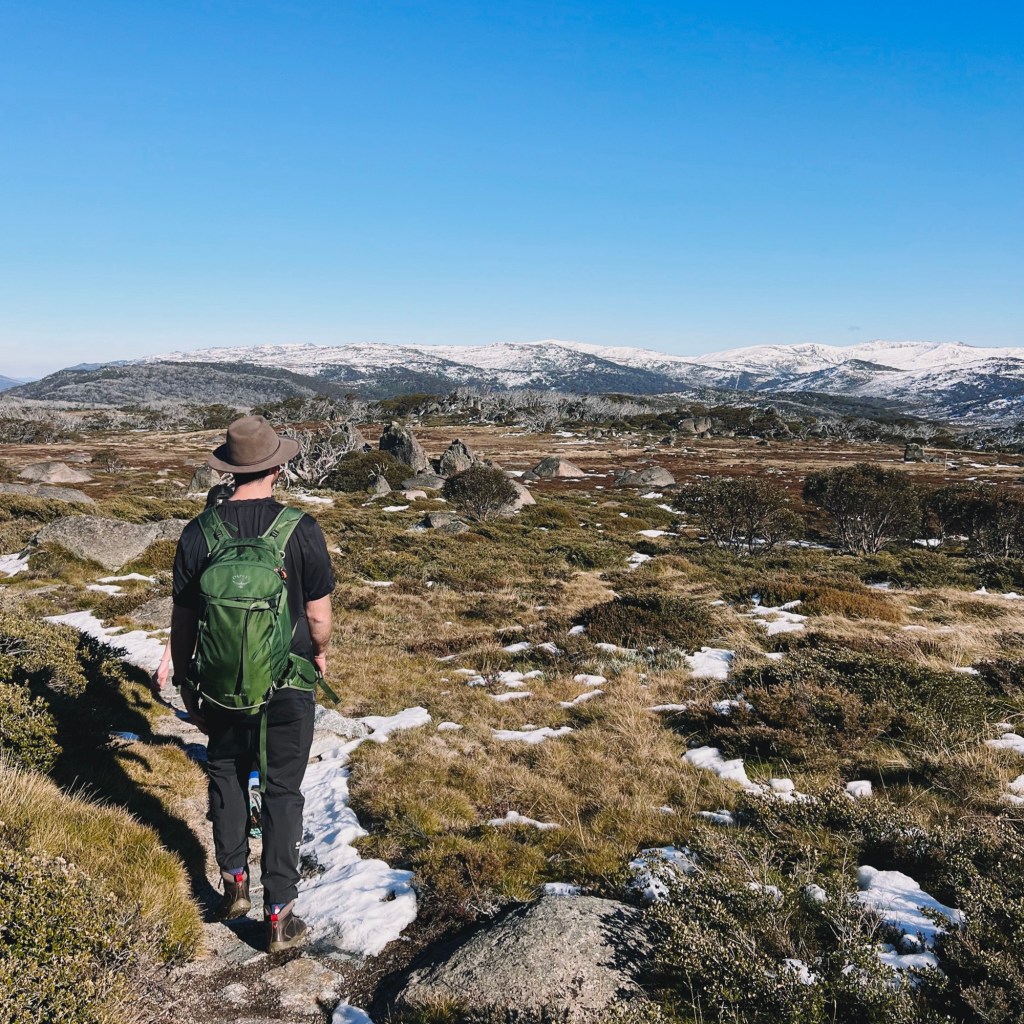
The Snowies Alpine Walk is almost entirely covered by snow from May/June until September/October, depending on the winter. The trail truly flourishes from late spring to early autumn. During this period, the melting snow reveals an alpine paradise, with cascading waterfalls and wildflowers that carpet the mountains in vibrant hues.
Keep in mind that Kosciuszko’s environment can bring unpredictable weather no matter the season. Rain, hail, snow, lightning storms and strong winds are all possible (even in summer). Always check the forecast beforehand, and be prepared for any condition.
Where to Stay Near the Snowies Alpine Walk
Try to start the hike early in the morning, as the first day is the biggest in distance and in elevation gain. Either stay in luxury accommodation at the nearby Crackenback resort, or camp at Thredbo Diggings or Ngarigo campgrounds. These require bookings, and national park entry fees apply.

(photo by @sevans__)
Where to Park for the Snowies Alpine Walk
This route starts at the Skitube Terminal at Bullocks Flat, approximately 3-hours drive south from Canberra and 5.5-hours drive south from Sydney. Starting here avoids national park entry fees.
Trip Report
Day 1: Bullocks Flat to Mount Stilwell Camp (27km)
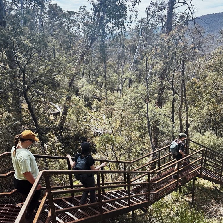
The hike begins at the Bullocks Flat Skitube, with the trailhead tucked away in the corner of Car Park D, making it a little hard to find. Starting on a smooth paved path heading toward the Thredbo River, keep an ear out for bikes, as the trail is shared with the Thredbo Valley Track (TVT). Before getting too settled in, there’s a short detour to Bullocks Hut, a charming old fishing lodge worth a few extra steps. The track crosses the river and splits from the TVT, and begins to climb through the towering eucalypt forest. The stone path does one big zig-zag up the mountainside, offering plenty of benches to rest and a few glimpses of the valley below.
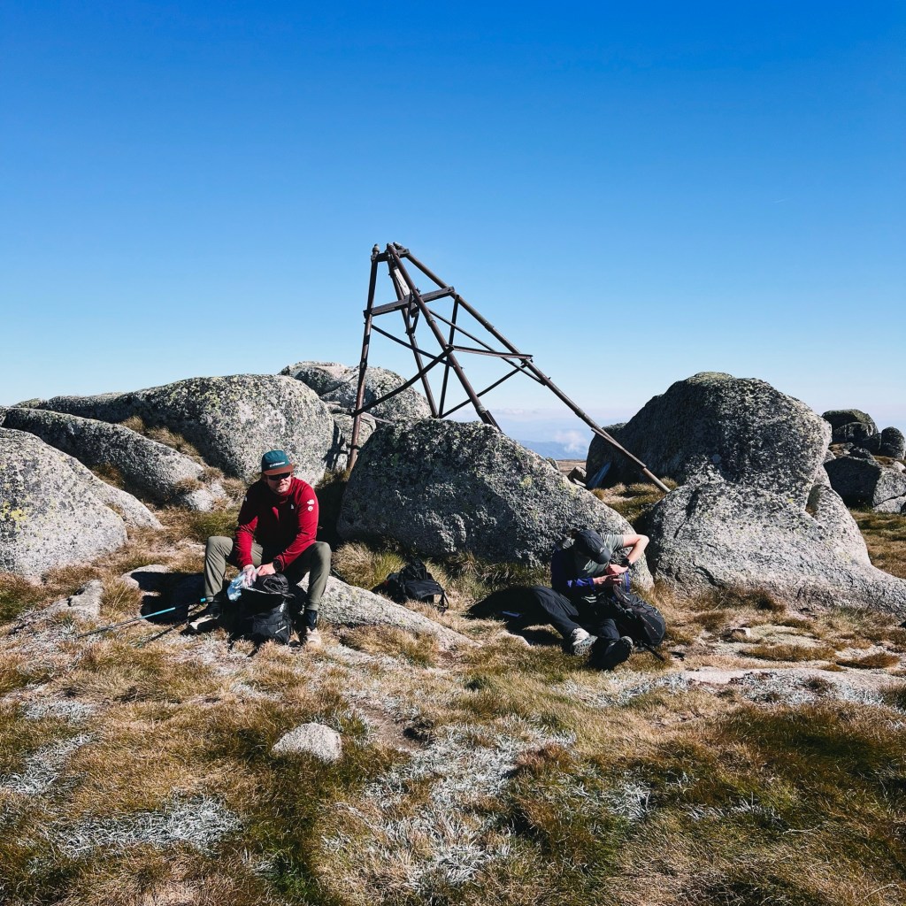
As the trees thin, the trail heads toward Perisher, intersecting with the Porcupine Walk just before the village. It continues up to Porcupine Rocks, where the climb starts to feel never-ending, but I promise the views are worth it. Porcupine Rocks is a great spot for a snack on the boulders, where you can see all the way out to the wind turbines past Dalgety on a clear day.

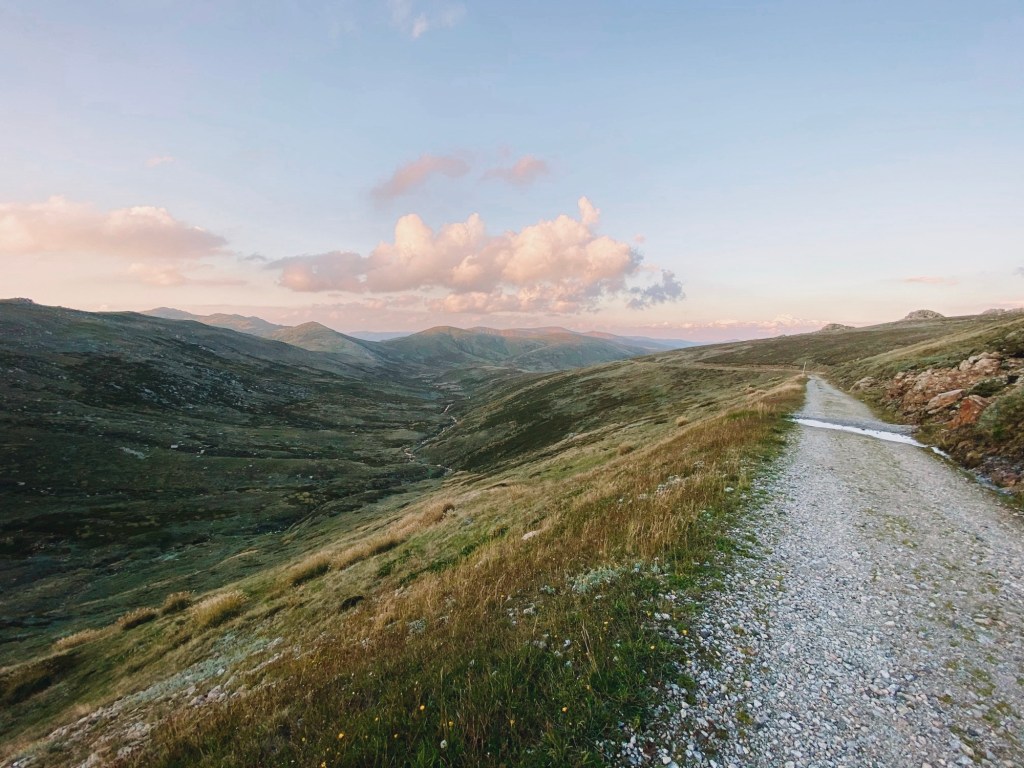
The trail veers toward Charlotte Pass, following the edge of the valley. As it enters the alpine woodlands, it becomes more undulating, but there’s still a steady incline. It passes through huge granite boulders, but the real highlight is the first look at the Main Range on the horizon.
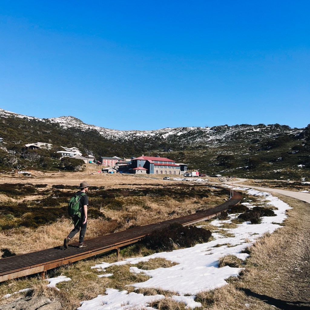
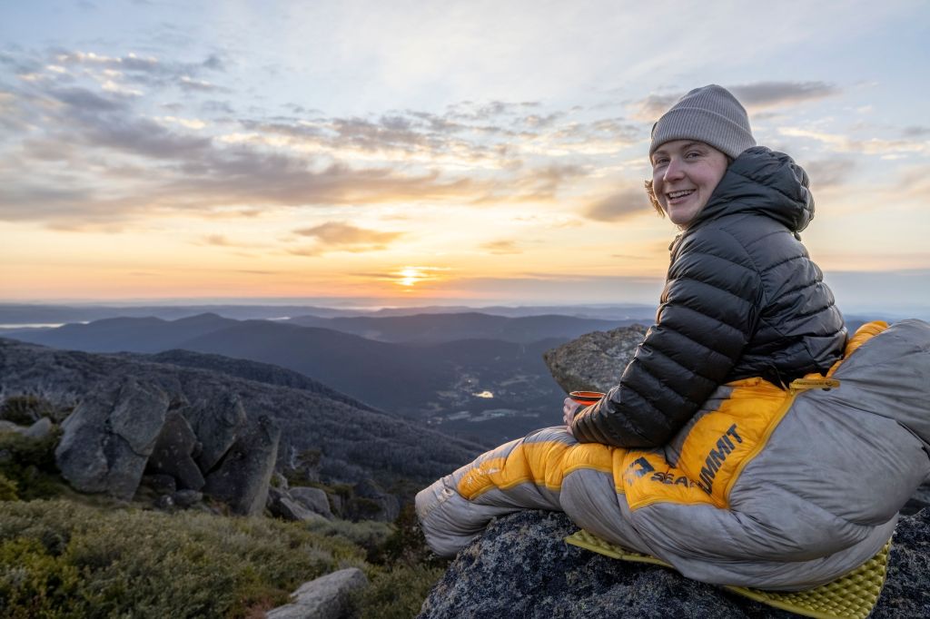
Charlotte Pass offers cozy accommodation options year-round, but for those camping, there’s a final 2km push to Mount Stilwell. The Stilwell Walk is easy to miss, with so many paths intersecting at the Charlotte Pass Carpark. It’s located to the left of the toilets, a good reminder to make one last stop before camp. This track takes you by both old and current chairlift structures, as well as a lookout platform. If you still have some energy, there’s a detour to the summit of Mount Stilwell, or save it for sunrise. Otherwise hike past the turnoff and find a place to camp on the plateau, just be sure to stay 200 meters away from the Charlotte Pass boundary and out of the Stilwell Creek catchment area.
Day 2: Mount Stilwell to Wilkinson’s Creek (22km)
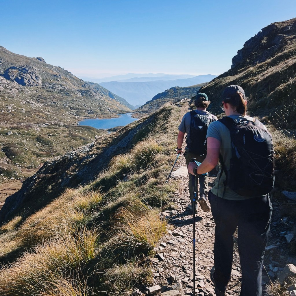
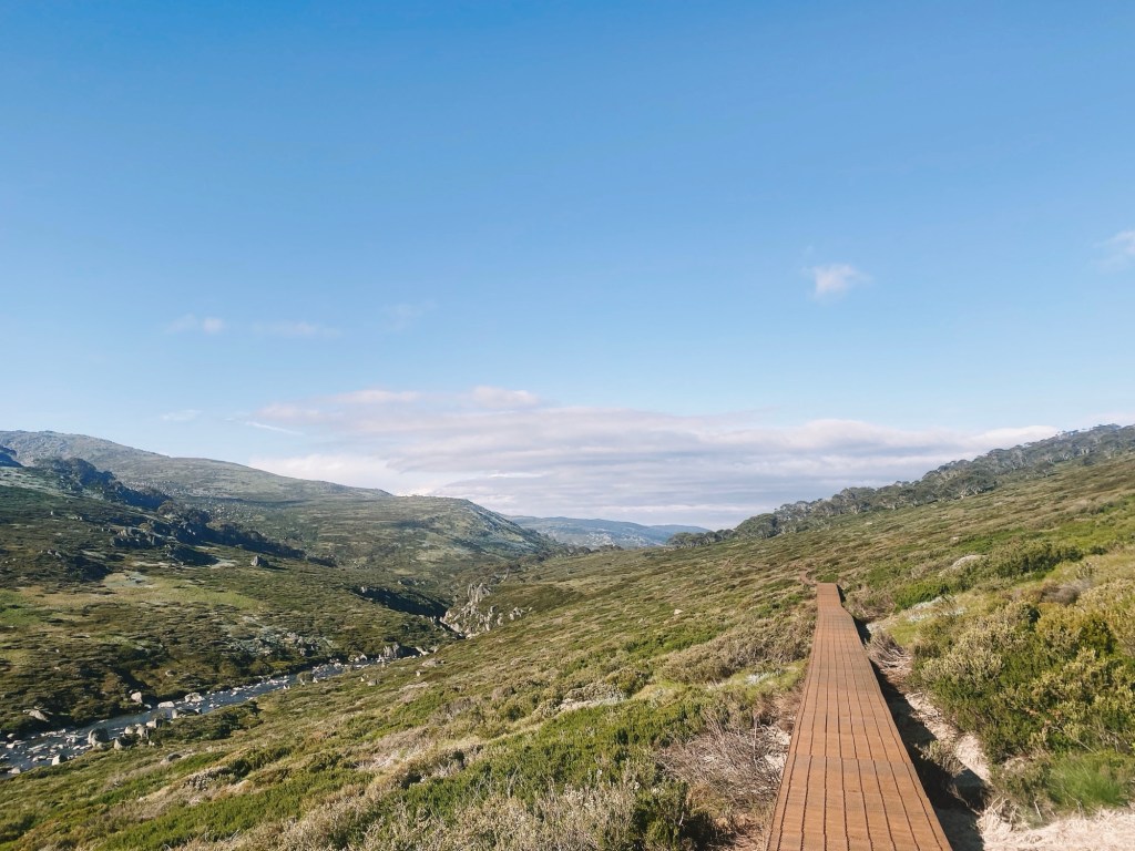
The second day brings even more breathtaking beauty as it enters the heart of the Main Range. Retrace your steps back to the Charlotte Pass Carpark and follow the Main Range Walk toward the Snowy River. Before reaching the riverbank, turn onto the metal boardwalk of the Snowies Alpine Walk, which winds beside the river. The trail eventually leads you to Illawong Hut and the iconic Illawong Suspension Bridge. If you’re unsure of navigation, retrace your steps back to the Main Range Walk and continue past Blue Lake to reach Wilkinson’s Creek on a fully marked route.
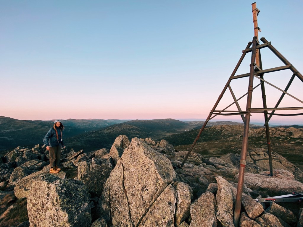
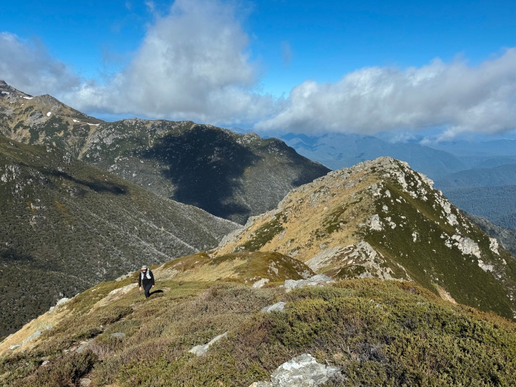
For those confident with navigation, cross the suspension bridge and climb Mount Twynam, Australia’s third-highest peak. The 360˚ views from the top are worth the effort, stretching as far as Mount Jagungal. The trail joins an old cattle track, passing Watson Crags, Mount Sentinel, and Blue Lake shimmering below. After a steep descent to the Sentinel Lookout, you will rejoin the Main Range Walk.
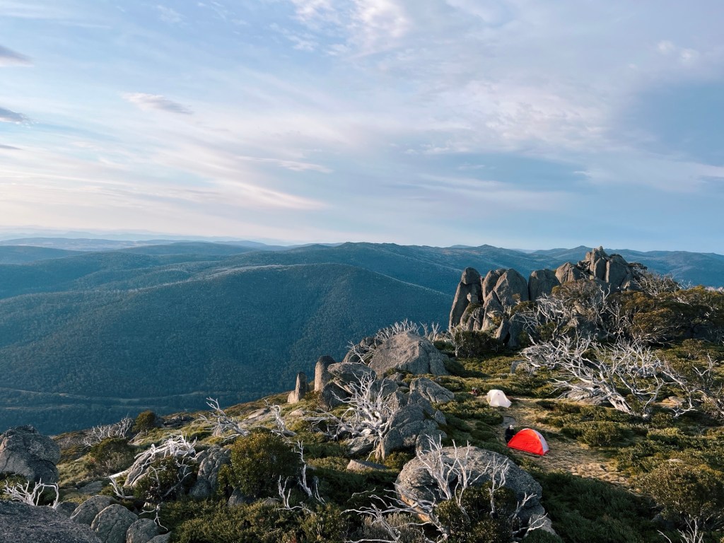
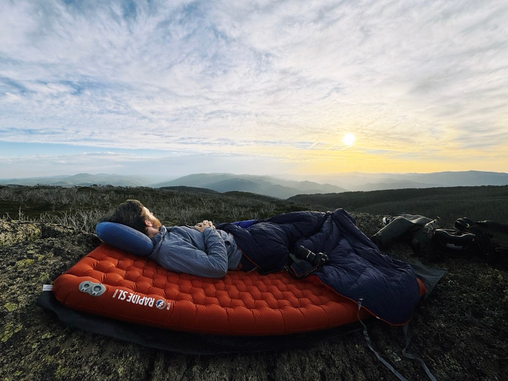
This section of the trail is popular for a reason, passing pristine glacial lakes like Albina Lake and Club Lake. Wilkinson’s Creek Camp, nestled between Mount Kosciuszko and Mount Townsend, feels like a mountain oasis. There’s no marked path to the camp, so descend to the creek and find a place to camp at least 30 meters away from the water’s edge.

If you still have energy after setting up camp, there’s an unmarked footpad nearby that leads to the summit of Mount Townsend, Australia’s second-highest peak.
Day 3: Wilkinson’s Creek to Porcupine Rocks (23km)
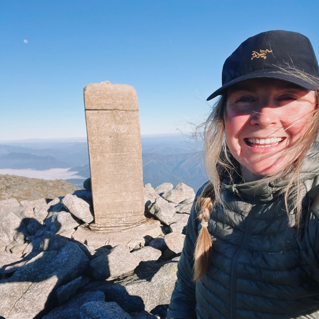
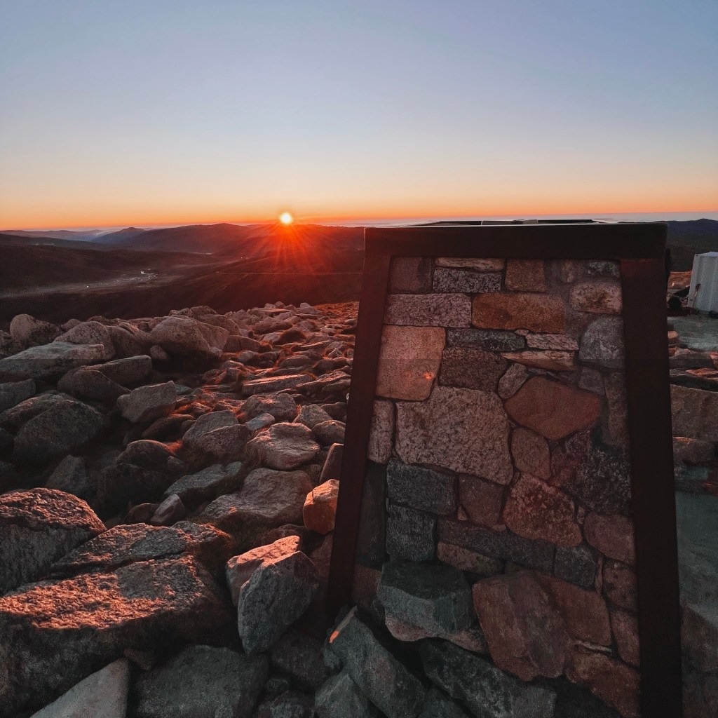
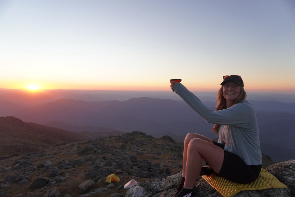
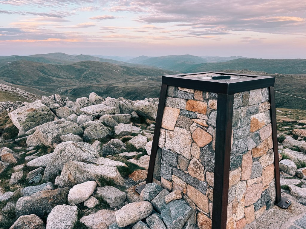
Today’s highlight is summiting Mount Kosciuszko, Australia’s highest peak. Set out early to catch the sunrise, the first light spilling over the mountains is unforgettable. Once you’ve taken in the awe-inspiring views, follow the Main Range Walk back to Charlotte Pass, via Rawson Pass (toilet block) and Seamans Hut.
From the Charlotte Pass carpark, the return leg retraces the path from Day 1, offering a whole new perspective as you head toward Perisher. Tonight’s camp is at Porcupine Rocks, so find a nice grassy patch behind the granite rocks, being sure to set up out of the Rocky Creek catchment area.
Day 4: Porcupine Rocks to Bullocks Flat (14km)
The final stretch is simply a return to Bullocks Flat on the same path hiked on Day 1. The descent is easier on the legs, giving you time to take in those views one last time.
(photo by @sevans__)
Tips for Hiking the Snowies Alpine Walk
Phone Service
While much of this walk traverses the rooftop of Australia and offers surprisingly decent phone reception (I’m with Optus), coverage can vanish quickly in valleys or remote sections of the trail. For safety, consider carrying a form of emergency communication, like a Personal Locator Beacon (PLB), which can be hired from NSW National Parks in Jindabyne.
Closures and Conditions
Always check for park closures, fire bans, and weather conditions before starting ANY hike.
Water
While the streams may look pristine, the area is heavily trafficked. I’ve been sick drinking straight from the Snowy River at Illawong, so it’s a risk not worth taking. Always carry a water filter or purification tablets. Always refill when you can, as some recommended campsites don’t have water sources at the doorstep.
Wildlife
The region is home to snakes and funnel-web spiders, so stay alert and carry a compression bandage for bites. Tred carefully and check for spider burrows before setting up a tent.
Disclaimer: Content on Path & Pedal is for general information and inspiration only. All route guides and trip reports are based on personal experience and research at the time of writing. Conditions, access, weather, and regulations can change. Always check official sources and use your own judgment. Outdoor adventures carry risk, and Path & Pedal accepts no liability for injury, loss, or damage.

Leave a reply to Adam Mitchell Cancel reply