Mount Sentinel isn’t one of Australia’s highest peaks. At 1905 metres it doesn’t even come close. But to me, it’s the most impressive mountain on the Main Range in Kosciuszko National Park, and hiking to its peak has become one of my favourite walks in the Snowy Mountains.
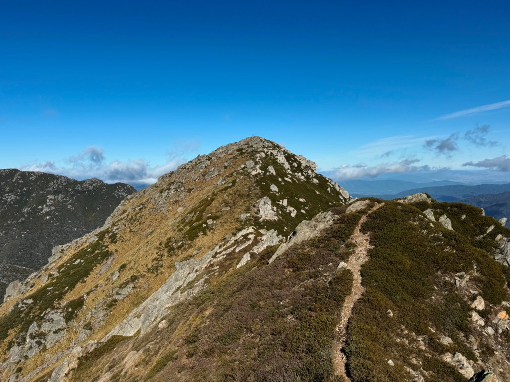
The Sentinel rises in a near perfect pyramid, with contrasting shades of alpine grass on each side and a sharp ridge running straight up to the summit. It’s the kind of mountain that makes you stop the first time you see it. And once you’ve noticed it, it’s hard not to start wondering what it would be like to stand on top.
Skip to:
- Quick Look
- About the Sentinel
- Where to Start & End the Hike to the Sentinel
- Skill Level Needed to Hike to the Sentinel
- Best Time to Hike to the Sentinel
- Where to Stay Nearby the Sentinel
- Trip Report
- Tips for the Hike to the Sentinel
Quick Look
Distance: 14km return
Elevation gain: ~950m return
Duration: 1-2 Days
Skill level: Advanced
Location: Kosciuszko National Park, NSW
GPX: click here
About the Sentinel
The Sentinel sits within the traditional lands of the Ngarigo and Wolgalu people, who travelled through the Snowy Mountains with the seasons. Each summer, groups journeyed into the high country for the Bogong moth harvest. The moths sheltered in cool rock crevices throughout the alpine peaks, including boulder stacks like those on the summit of the Sentinel.
The peak itself was named much later, in 1941, by author and mountain pioneer Elyne Mitchell, best known for writing The Silver Brumby. She named the mountain ‘the Sentinel’ after the way it stands like a watchful guard on the western side of the Main Range. Once you stand on the summit and look across the valleys of Victoria, it’s easy to see why the name stuck.
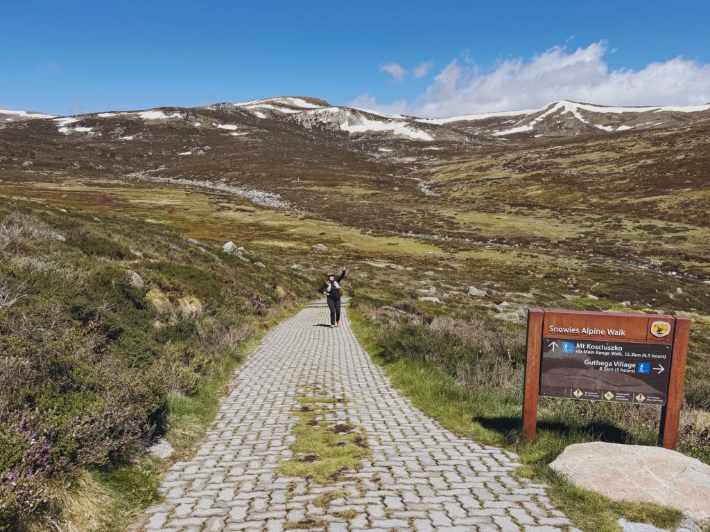
Where to Start & End the Hike to the Sentinel
This hike is an out-and-back starting and finishing at the Charlotte Pass carpark. Charlotte Pass is about a 2.5 hours drive south of Canberra or around 5.5 hours from Sydney. The closest serviced town is Jindabyne, just over a 30 minute drive away. From Jindy, the road winds into the alpine, so drive to the conditions and keep an eye out for wildlife. From the June long weekend to the October long weekend the road to Charlotte Pass is closed from Perisher due to snow.
You’ll need a valid NSW National Parks pass to enter Kosciuszko National Park. These can be purchased at the Jindabyne Visitor Centre, or at the park entry stations during operating hours.
Skill Level Needed to Hike to the Sentinel
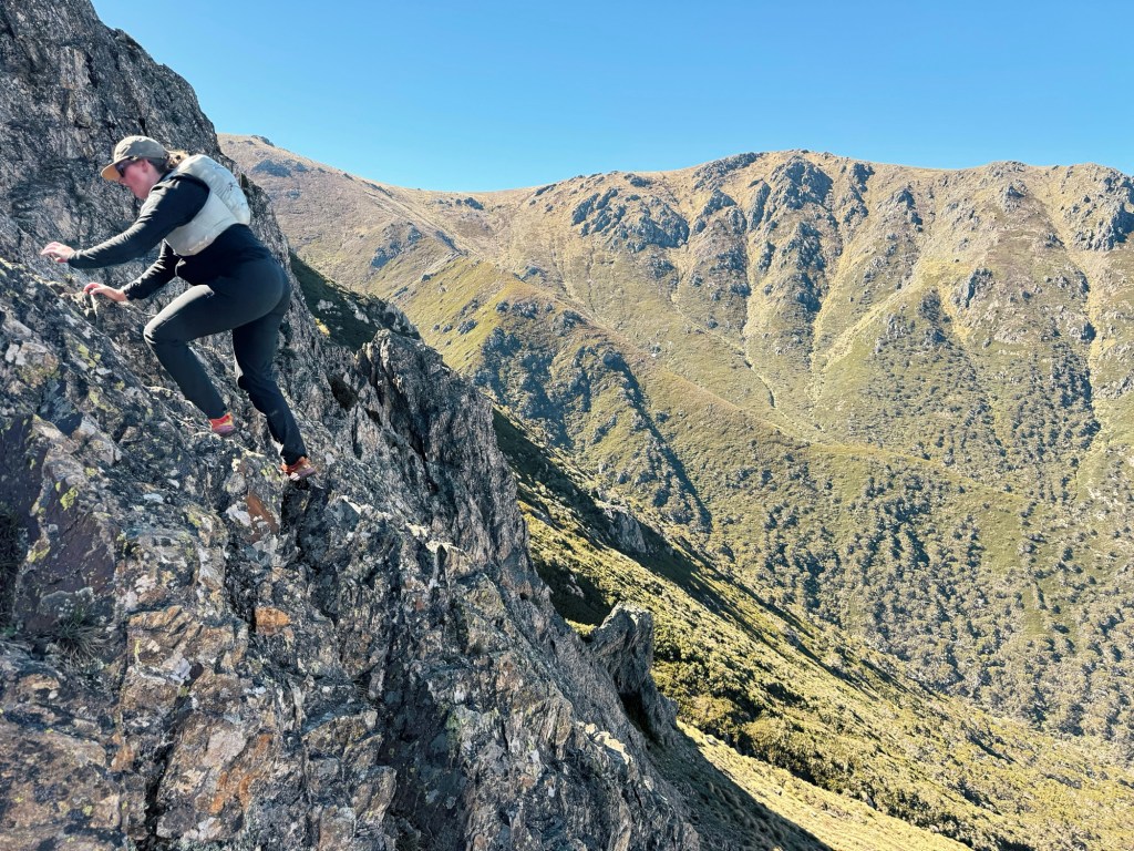
Hiking the Sentinel is not a beginner friendly walk. Once you leave the Main Range Track the route becomes entirely off track, with no signage and only occasional footpads to follow. This hike is best suited to advanced hikers comfortable with navigation and remote terrain. Expect plenty of boulder hopping, with one particularly sketchy rock scramble to the summit.
Weather can add an extra layer of difficulty. This is the true alpine and conditions can change quickly, with strong winds, lightning, snow and hail possible year round. Always check the forecast before leaving home, be prepared for anything, and turn around early if need be.
Best Time to Hike to the Sentinel
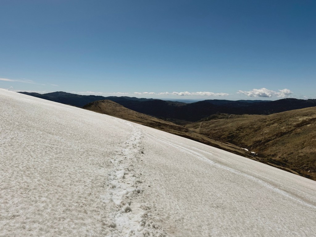
Late spring to early autumn is when this hike really shines. Snowmelt feeds waterfalls, alpine wildflowers carpet the plains, and the high country comes alive with insects. Be aware, snow can still linger on shaded slopes well into summer. When we hiked it in January we crossed three snow drifts that had survived almost the entire summer.
In winter the route becomes a much more serious objective. Avalanches are possible on the surrounding slopes and summiting requires ice axe and crampons along with extensive winter experience.
Where to Stay Nearby the Sentinel
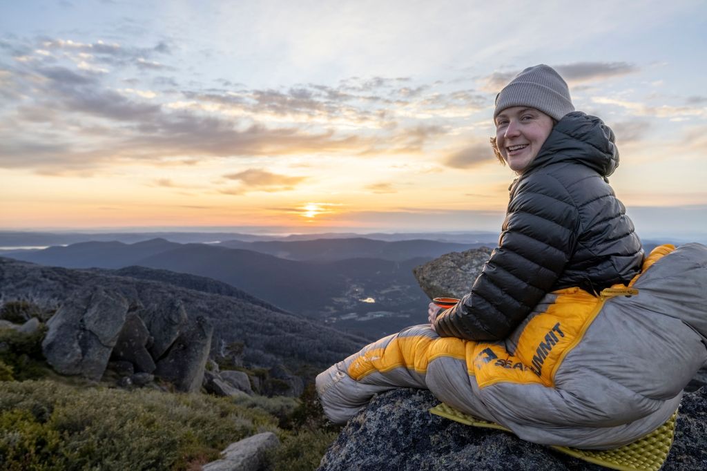
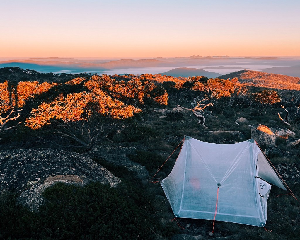
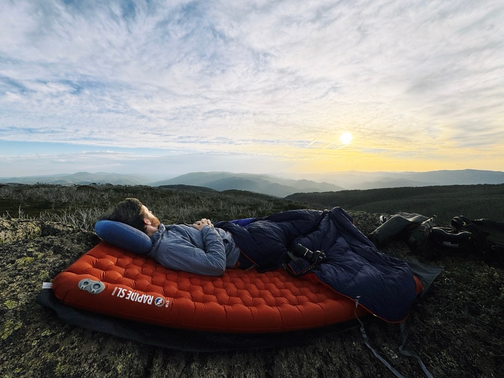
Whilst the summit of the Sentinel is far too rocky to camp atop, there is the perfect sheltered valley before the ridge right beside a small unnamed creek that flows into Strzelecki Creek. It’s one of the few spots that offers some protection from the relentless alpine wind that the Main Range so often sees. If you choose to wild camp here, make sure to follow Leave No Trace principles to keep the area and water system clean for everyone to use.
Camping is not allowed within the Blue Lake catchment zone. Blue Lake is one of only four glacial lakes in mainland Australia and is a sensitive alpine environment. For more information on wild camping in Kosciuszko National Park, see the NSW National Parks website.
Trip Report
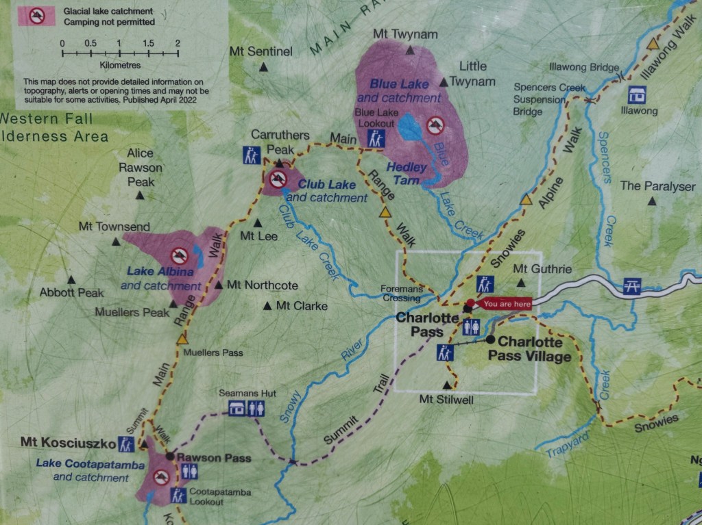
This hike starts from the Charlotte Pass carpark, stepping onto the Main Range Track and heading downhill to the Snowy River. It’s an easy start that lulls you into a false sense of security. The trail soon ends with an abrupt halt at the Snowy River. If the water level is low you can hop across rocks, but after rain the river can swell enough to make the crossing a bit tricky and wet feet unavoidable. Once across, the climb begins.
The track traverses steadily uphill across open alpine country before we hit a lingering snow drift. We may have kept our feet dry at the river, but the snow quickly ended that streak plus freezing cold toes. Not long after, the trail reaches Carruthers Creek, which is usually much easier to cross. Most of the time you can jump straight over it.
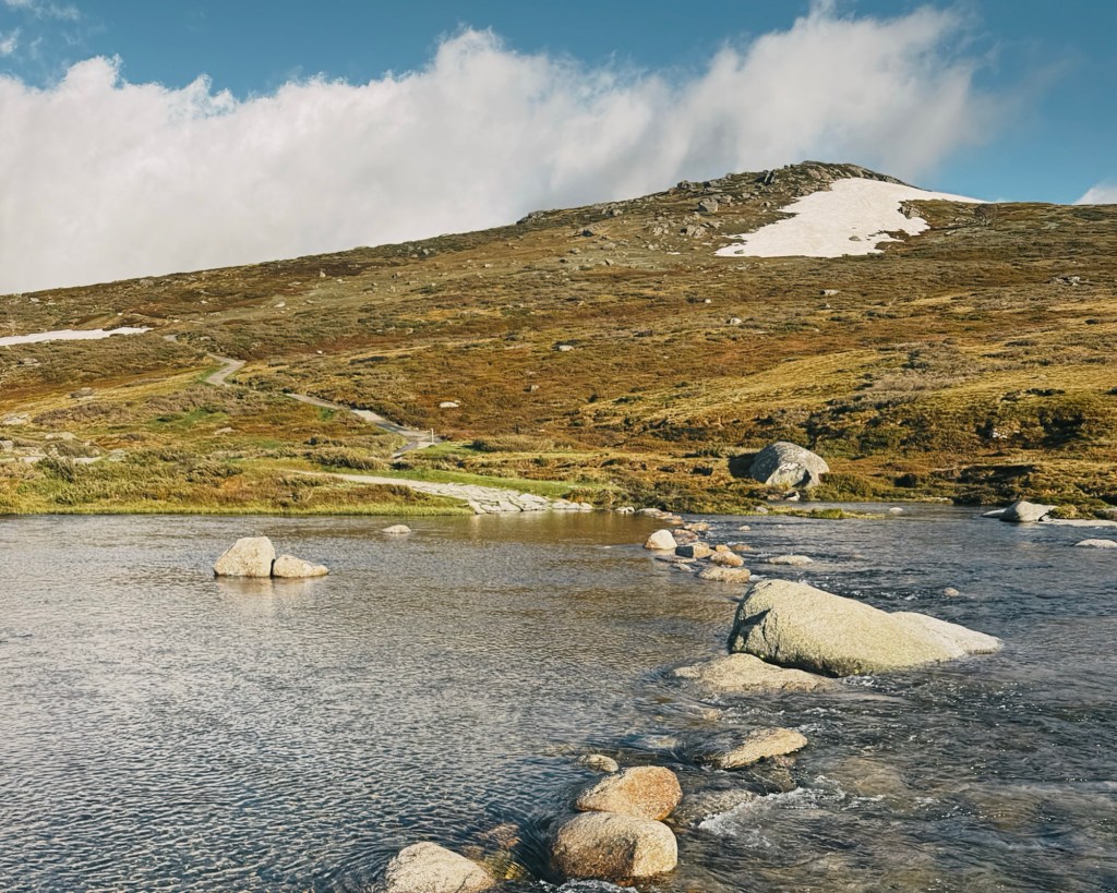
From here the climb continues until you arrive at one of the best viewpoints on the Main Range. Blue Lake sits far below in its steep glacial bowl, impossibly blue on a clear day (as the name suggests). The cliffs around the lake are some of the most dramatic in the Snowy Mountains and are popular for ice climbing in winter. You can take a side trip down to the lake itself, although swimming is not allowed to protect the fragile alpine environment.
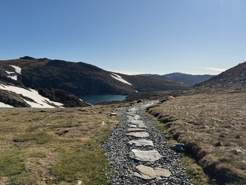
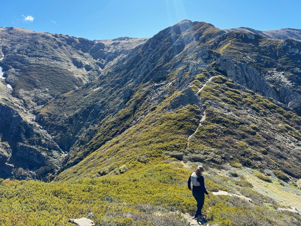
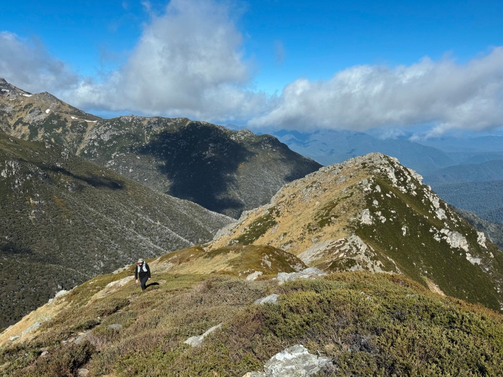
Back on the Main Range Track, the walk continues until an unofficial lookout reveals the Sentinel as the trail sharply heads up the side of Mount Carruthers. This is where the adventure really begins. Here you leave the Main Range Track and go fully off track. There are no signs, markers or distinct trail. An old cattle route guides the first section, but before long it fades and it becomes a ‘choose your own adventure’ across the alpine plateau.
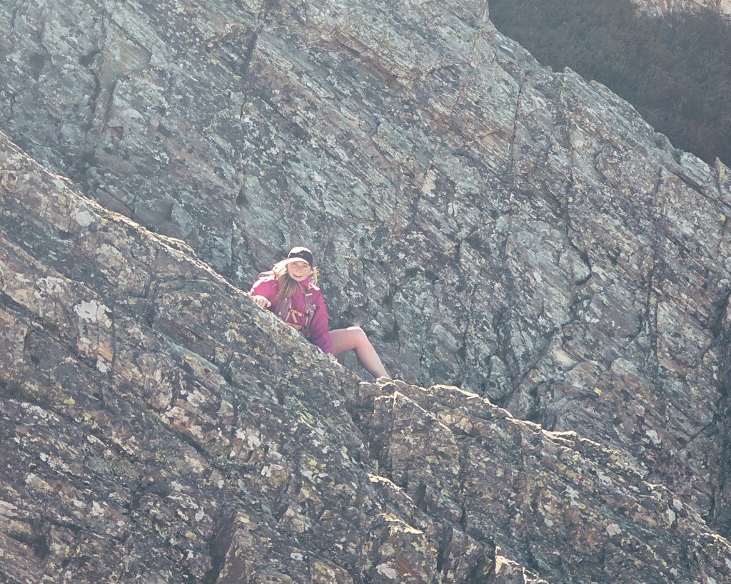
Once on the ridge, a faint footpad appears through the low mint bush. The ridge drops steeply toward a saddle, and this is where things start to feel a bit more serious. At the saddle, a steep razorback rock guards the final approach. It’s an exposed scramble that might make you question if the summit is worth it. Plenty of hikers turn around here, so don’t be afraid to do the same if it feels outside your comfort zone.
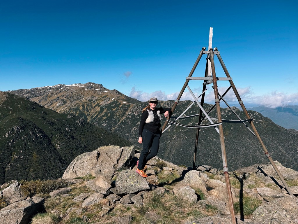
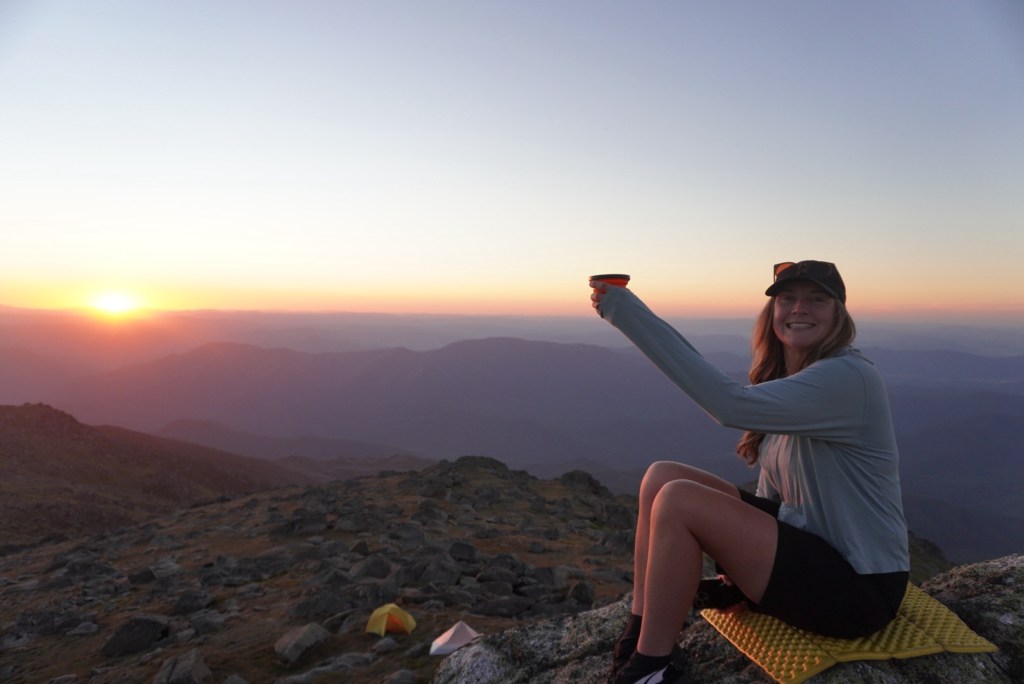
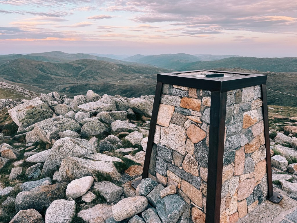
From the saddle it’s a final push with some boulder hopping up to the trig point. The top of the Sentinel is rocky and surprisingly comfortable, with warm granite slabs perfect for laying back and soaking in the views.
When it’s time to head back, I usually retrace my steps to Charlotte Pass. If you want to extend the hike, continue along the Main Range Track past Carruthers Peak and loop back via Mount Kosciuszko, descending toward Charlotte Pass on the Mount Kosciuszko Summit Track.
Tips for the Hike to the Sentinel
Phone Service: Reception is surprisingly decent along much of the route (I’m with Optus), but it can drop out in valleys. A Personal Locator Beacon (PLB) is a smart backup and can be hired from NSW National Parks in Jindabyne.
Bike Access: Sadly, this walk is strictly a hiking adventure. None of the route is rideable.
Closures: Always check NSW National Parks alerts before heading out. Fire danger, aerial shooting, and maintenance closures are common in this region.
Water: Streams may look pristine but traffic in the area is high. I’ve been sick from untreated Snowy River water before, so I always use a water filter now.
Wildlife: Snakes and funnel web spiders live throughout the park. Stay alert during warmer months, carry a compression bandage and a form of emergency communication (satellite phone or PLB).
Toilets: The only toilets on this route are at the Charlotte Pass carpark. Once you start the hike follow Leave No Trace and carry out any waste.
Disclaimer: Content on Path & Pedal is for general information and inspiration only. All route guides and trip reports are based on personal experience and research at the time of writing. Conditions, access, weather, and regulations can change. Always check official sources and use your own judgment. Outdoor adventures carry risk, and Path & Pedal accepts no liability for injury, loss, or damage.

Leave a reply to India Safaris Cancel reply